Blue Mounds State Park

Gallery (1)
Map
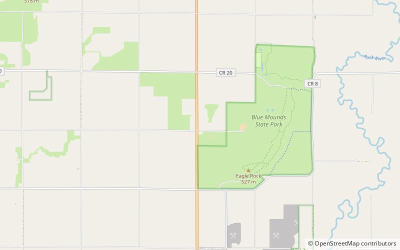
Map
Facts and practical information
Blue Mounds State Park is a state park of Minnesota, USA, in Rock County near the town of Luverne. It protects an American bison herd which grazes on one of the state's largest prairie remnants. ()
Alternative names: Established: 1937 (89 years ago)Area: 2.45 mi²Elevation: 1657 ft a.s.l.Coordinates: 43°42'18"N, 96°12'42"W
Location
Minnesota
ContactAdd
Social media
Add
Day trips