Arroyo Sequit, Malibu
#15 among attractions in Malibu

Facts and practical information
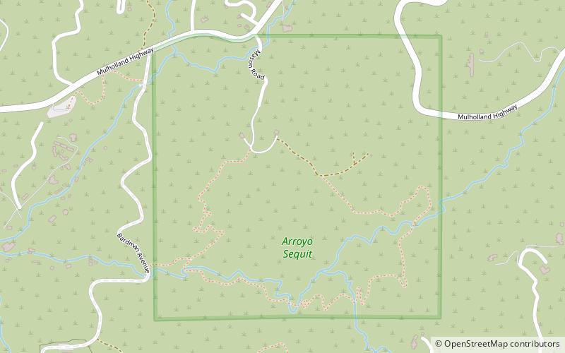
Arroyo Sequit Park is a unit within the Santa Monica Mountains National Recreation Area, located at 34138 Mulholland Highway, inland from Malibu in southeastern Ventura County, California. ()
Arroyo Sequit – popular in the area (distance from the attraction)
Nearby attractions include: Sherwood Country Club, Santa Monica Mountains, Sandstone Peak, Tri Peaks.
 Golf
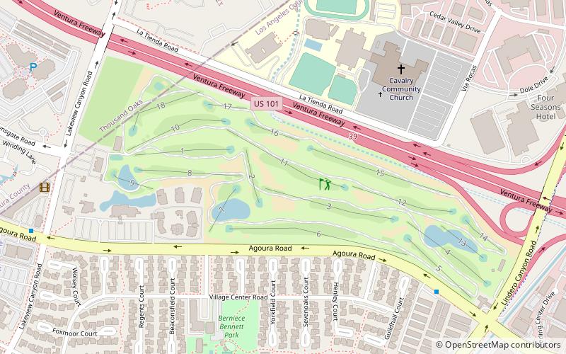
GolfSherwood Country Club, Thousand Oaks
83 min walk • Sherwood Country Club is a private, member owned golf and country club in Lake Sherwood, California set at the base of the Santa Monica Mountains just south of city of Thousand Oaks.
 Mountain, National park, Nature and wildlife
Santa Monica Mountains, Santa Monica Mountains National Recreation Area
87 min walk • The Santa Monica Mountains is a coastal mountain range in Southern California, next to the Pacific Ocean. It is part of the Transverse Ranges.
 Nature, Natural attraction, Mountain
Sandstone Peak, Santa Monica Mountains National Recreation Area
87 min walk • Sandstone Peak, also known as Mount Allen, is a mountain in Ventura County, California, and the highest summit in the Santa Monica Mountains with an elevation of 3,114 feet.
 Nature, Natural attraction, Trail
Tri Peaks, Santa Monica Mountains National Recreation Area
109 min walk • Tri Peaks is, after Sandstone Peak, one of the highest points in the Santa Monica Mountains with an elevation of 3,009 feet.
 Nature, Natural attraction, Mountain
Boney Peak, Santa Monica Mountains National Recreation Area
91 min walk • Boney Mountain in Ventura County, California is one of the highest peaks in the Santa Monica Mountains. The prominent mountain visible from Newbury Park, California is 2,825 feet. It is also known as Boney Peak.
 Nature, Natural attraction, Mountain
Exchange Peak, Santa Monica Mountains National Recreation Area
97 min walk • Exchange Peak is, after Sandstone Peak and with Tri-Peaks, one of the highest points in the Santa Monica Mountains with an elevation of 2,953 feet.
 Nature, Natural attraction, Mountain
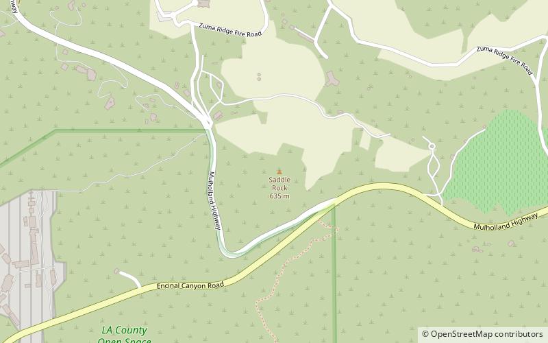
Saddle Rock-Malibu AVA, Santa Monica Mountains National Recreation Area
90 min walk • The Saddle Rock-Malibu AVA is an American Viticultural Area in the Santa Monica Mountains, within western Los Angeles County, California.
 Golf
GolfWestlake Golf Course, Westlake Village
161 min walk • Westlake Golf Course is an 18-hole regulation length golf course located in Westlake Village, California, USA. It is an 18-hole course designed by Ted Robinson, ASGCA in 1964. It features 5,080 yards of golf from the longest tees for a par of 67. The course rating is 63.2 and it has a slope rating of 93.
 Nature, Natural attraction, Mountain
Circle X Ranch, Santa Monica Mountains National Recreation Area
79 min walk • Circle X Ranch is a park unit located in the Triunfo Pass within the southwestern Santa Monica Mountains National Recreation Area, in Ventura County, California. It is located in the western Santa Monica Mountains.
 34°2'36"N • 118°54'50"W
Wishtoyo Chumash Village, Santa Monica Mountains National Recreation Area
83 min walk • Museum
 34°5'5"N • 118°53'53"W
Shalom Institute - Malibu, Santa Monica Mountains National Recreation Area
12 min walk • Park