Fort Randolph, Alexandria
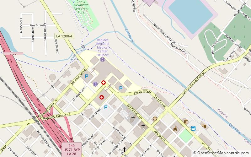
Map
Facts and practical information
Fort Randolph was built in late 1864 by Confederate force as a defense against an expected third invasion by Union forces of the Louisiana Red River Valley in 1865. The fort was named for Captain Chistopher M. Randolph who was in charge of its construction. ()
Built: 1864 (162 years ago)Coordinates: 31°18'53"N, 92°26'54"W
Address
Central Alexandria (Downtown Alexandria)Alexandria
ContactAdd
Social media
Add
Getting there by public transportation
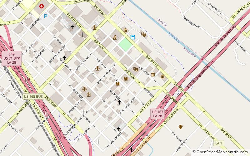
Public transportation stops near this location
- Bus
 Bus
Bus
- Calculate routeATRANS Transit Station 9 min walk
Day trips
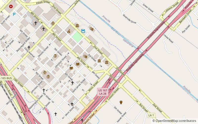
Fort Randolph – popular in the area (distance from the attraction)
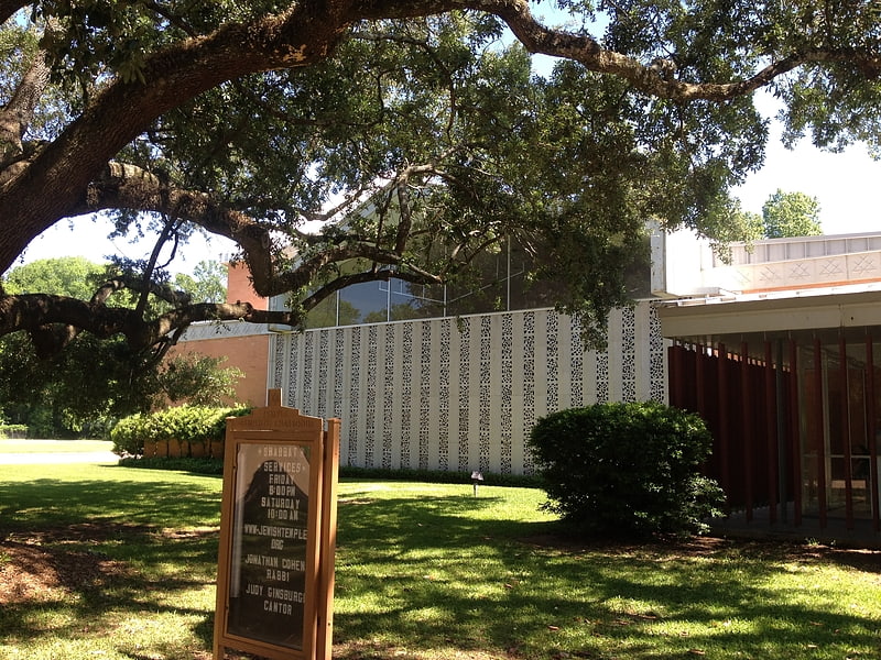
Nearby attractions include: Congregation Gemiluth Chassodim, Alexandria Museum of Art, St. Francis Xavier Cathedral, Alexandria National Cemetery.


Frequently Asked Questions (FAQ)
Which popular attractions are close to Fort Randolph?
Nearby attractions include St. Francis Xavier Cathedral, Alexandria (5 min walk), Emmanuel Baptist Church, Alexandria (6 min walk), Fort Buhlow, Alexandria (7 min walk), Alexandria Museum of Art, Alexandria (8 min walk).
How to get to Fort Randolph by public transport?
The nearest stations to Fort Randolph:
Bus
Bus
- ATRANS Transit Station (9 min walk)