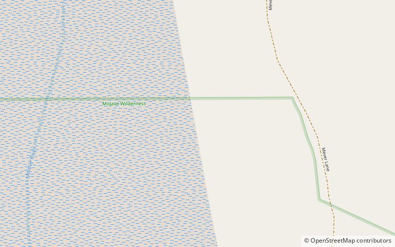
Lake Mojave, Mojave National Preserve

Map
Facts and practical information
Lake Mojave is an ancient former lake fed by the Mojave River that, through the Holocene, occupied the Silver Lake and Soda Lake basins in the Mojave Desert of San Bernardino County, California. Its outlet may have ultimately emptied into the Colorado River north of Blythe. ()
Elevation: 928 ft a.s.l.Coordinates: 35°14'28"N, 116°4'48"W
Address
Mojave National Preserve
ContactAdd
Social media
Add
Day trips
Lake Mojave – popular in the area (distance from the attraction)
Nearby attractions include: World's Tallest Thermometer, Soda Lake.

