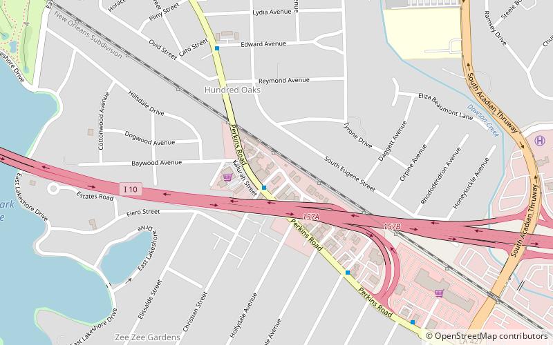
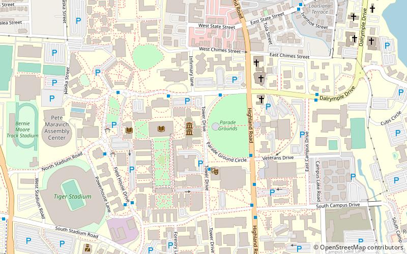
CARTE Museum, Baton Rouge
Map

Map

Facts and practical information
The Cartographic Acquisition Research Teaching and Exhibition Museum was a small privately owned cartographic museum located in Baton Rouge, Louisiana, dedicated to the preservation of original maps and atlases. The collection documented early North American continent exploration, centered on the present-day Louisiana Gulf Coast from the 1500s up to the appearance of aerial cartography in the early 20th century. ()
Established: 2009 (17 years ago)Coordinates: 30°25'34"N, 91°9'31"W
Day trips
CARTE Museum – popular in the area (distance from the attraction)
Nearby attractions include: City Park Golf Course, Swine Palace, Memorial Tower, LSU Honors College.
Frequently Asked Questions (FAQ)
Which popular attractions are close to CARTE Museum?
Nearby attractions include Baton Rouge Gallery - center for contemporary art, Baton Rouge (19 min walk), BREC's City-Brooks Community Park, Baton Rouge (20 min walk).


