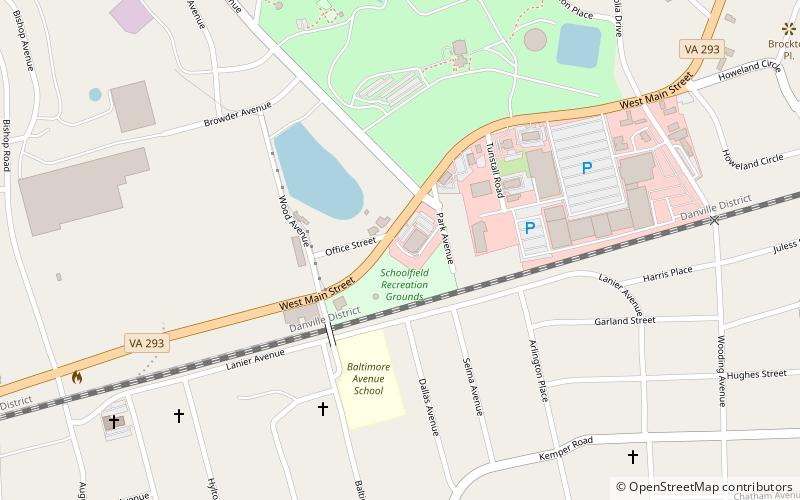
Schoolfield Welfare Building, Danville

Gallery (1)
Map
Map
Facts and practical information
The Schoolfield Welfare Building is a historic function hall at 917 West Main Street in Danville, Virginia. The architecturally eclectic brick two story building was built 1916-17 by Dan River, Inc. as a social center for its workers. The building has a Mission-style tile hip roof, with extended eaves supported by brackets. The building housed meeting spaces, a day-care center, and a medical clinic, as well as providing a large function space. A kindergarten playhouse made out of false logs and daubing was added to the property in 1938. It is now owned by a non-profit organization. ()
Built: 1917 (109 years ago)Elevation: 636 ft a.s.l.Coordinates: 36°34'12"N, 79°25'22"W
Address
917 W Main StDanville
ContactAdd
Social media
Add
Day trips


Frequently Asked Questions (FAQ)
Which popular attractions are close to Schoolfield Welfare Building?
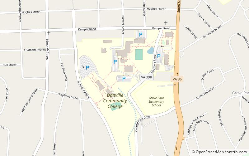
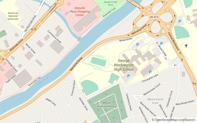
Nearby attractions include Averett University, Danville (22 min walk), Danville Community College, Danville (23 min walk).