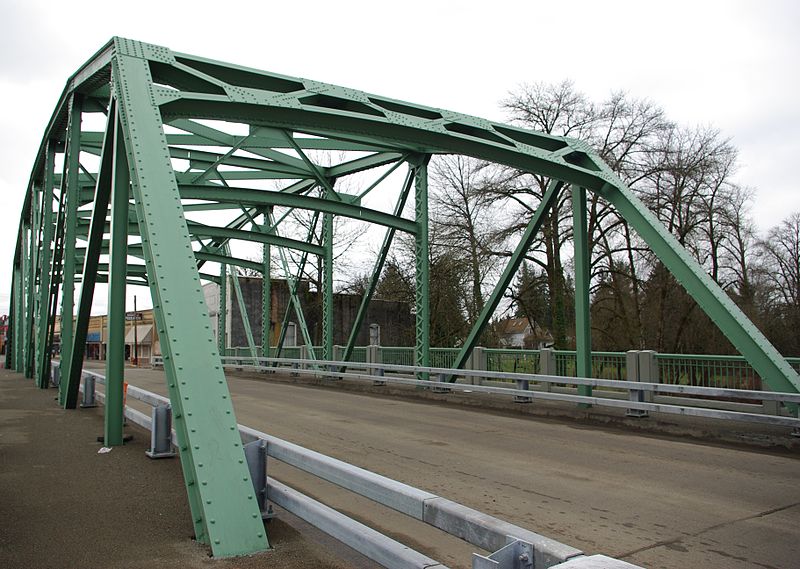
Sheridan Bridge, Sheridan

Gallery (2)
Map
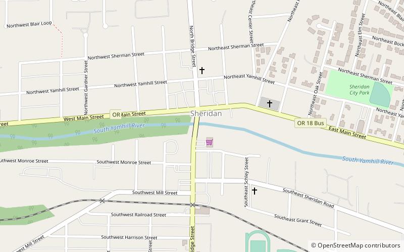
Map
Gallery
Facts and practical information
Sheridan Bridge is a two-lane steel Truss bridge carrying vehicular traffic in Sheridan, Oregon, United States. Construction began in 1938 and finished in 1939. This 258-foot bridge connects the northern and southern portions of the town across the South Yamhill River in Yamhill County. ()
Opened: 1939 (87 years ago)Coordinates: 45°5'56"N, 123°23'42"W
Address
Sheridan
ContactAdd
Social media
Add
Day trips

