Lewis and Clark Landing, Omaha
Map
Map

Facts and practical information
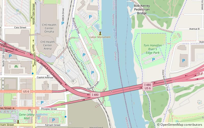
Lewis and Clark Landing is a public park located at 515 North Riverfront Drive in Downtown Omaha, Nebraska. The 23-acre park is situated along the eight-foot-tall river walk of the Missouri River just north of U.S. Interstate 480. ()
Created: 2003Elevation: 971 ft a.s.l.Coordinates: 41°15'41"N, 95°55'25"W
Address
515 N Riverfront DrNorth DowntownOmaha 68183
ContactAdd
Social media
Add
Day trips
Lewis and Clark Landing – popular in the area (distance from the attraction)
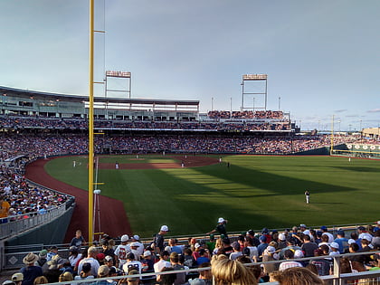
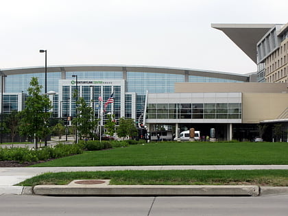
Nearby attractions include: J. L. Brandeis and Sons Store Building, TD Ameritrade Park Omaha, CenturyLink Center Omaha, Gene Leahy Mall.
Frequently Asked Questions (FAQ)
Which popular attractions are close to Lewis and Clark Landing?
Nearby attractions include Bob Kerrey Pedestrian Bridge, Omaha (8 min walk), Heartland of America Park, Omaha (9 min walk), Burnt District, Omaha (10 min walk), RiverFront Place Condos, Omaha (10 min walk).
How to get to Lewis and Clark Landing by public transport?
The nearest stations to Lewis and Clark Landing:
Bus
Train
Bus
- 14th & Douglas • Lines: 95 (16 min walk)
- 16th and Davenport • Lines: 95 (19 min walk)
Train
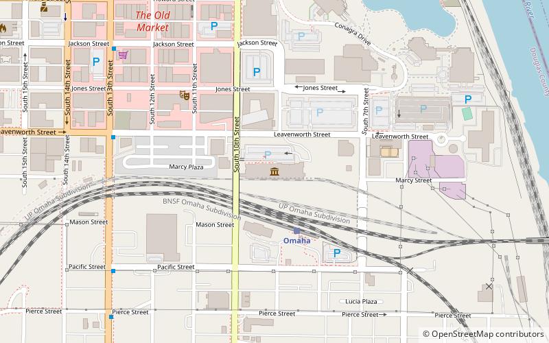
- Omaha (21 min walk)

