Altus Well Shed-Gazebo, Altus
Map

Map

Facts and practical information
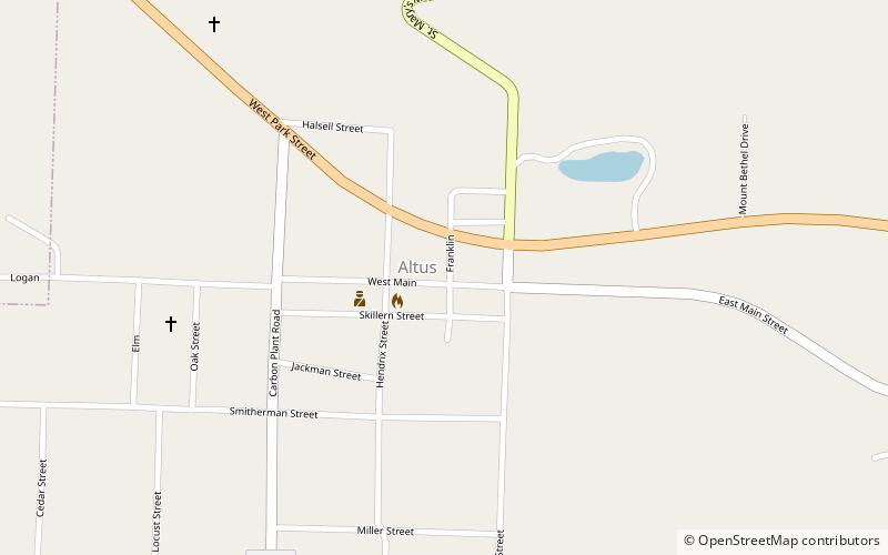
The Altus Well Shed-Gazebo is a gazebo located adjacent to the central city park of Altus, Arkansas, near the junction of Franklin and Main Streets. It is an octagonal structure, set on a foundation of cast concrete blocks, with eight stepped columns supporting a wooden roof frame with a metal shingle roof and finial. The gazebo was built about 1920 covering a well that is believed to have been built in 1888, around the time a branch railroad line was built from Altus to a nearby coal mining area. ()
Coordinates: 35°26'46"N, 93°45'45"W
Address
Altus
ContactAdd
Social media
Add
Day trips
Altus Well Shed-Gazebo – popular in the area (distance from the attraction)
Nearby attractions include: Our Lady of Perpetual Help Church, First Methodist Episcopal Church, Chateau Aux Arc Vineyards and Winery.


