Jamestown Museum, Jamestown

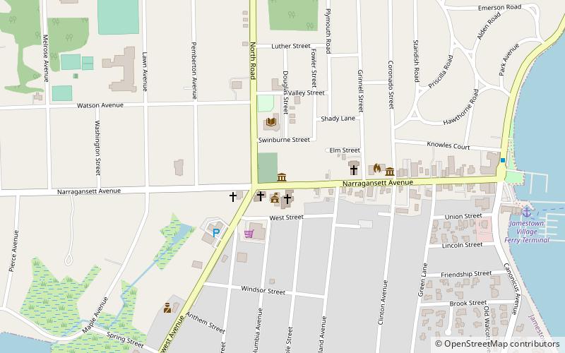
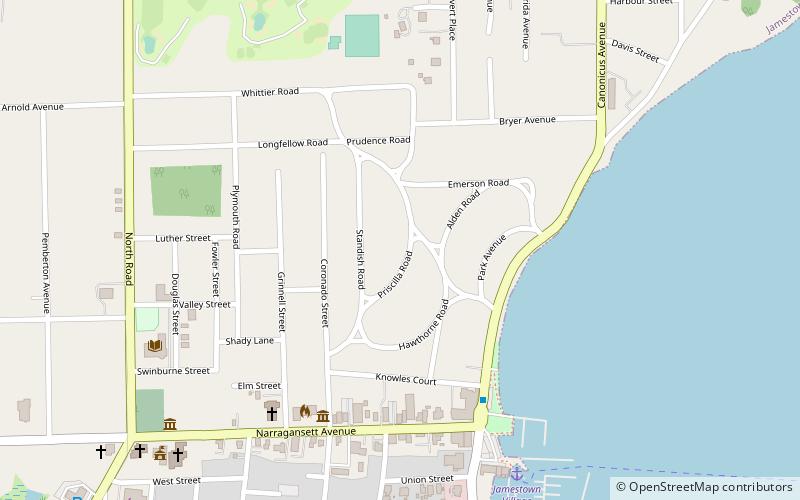
Map
Facts and practical information
Jamestown Museum is a local history museum which tells the history of Jamestown, Rhode Island and is run by the Jamestown Historical Society. The Jamestown Historical Society founded the museum in the current building in 1971. The building was originally as a one-room school dating from 1885, which later served as the town library from 1898 to 1971. The museum was extensively renovated in 2008. The Jamestown Historical Society also operates several other historic building museums, such as the Jamestown Windmill. ()
Coordinates: 41°29'47"N, 71°22'26"W
Day trips
Jamestown Museum – popular in the area (distance from the attraction)
Nearby attractions include: Fort Wetherill State Park, Arts Center, Artillery Park, Dutch Harbor Boat Yard.
Frequently Asked Questions (FAQ)
Which popular attractions are close to Jamestown Museum?
Nearby attractions include Jamestown Philomenian Library, Jamestown (3 min walk), Artillery Park, Jamestown (3 min walk), Arts Center, Jamestown (4 min walk), Shoreby Hill Historic District, Jamestown (9 min walk).
How to get to Jamestown Museum by public transport?
The nearest stations to Jamestown Museum:
Bus
Bus
- Jamestown Ferry Landing • Lines: 14 (9 min walk)


