Rapides Cemetery, Alexandria
Map
Map

Facts and practical information
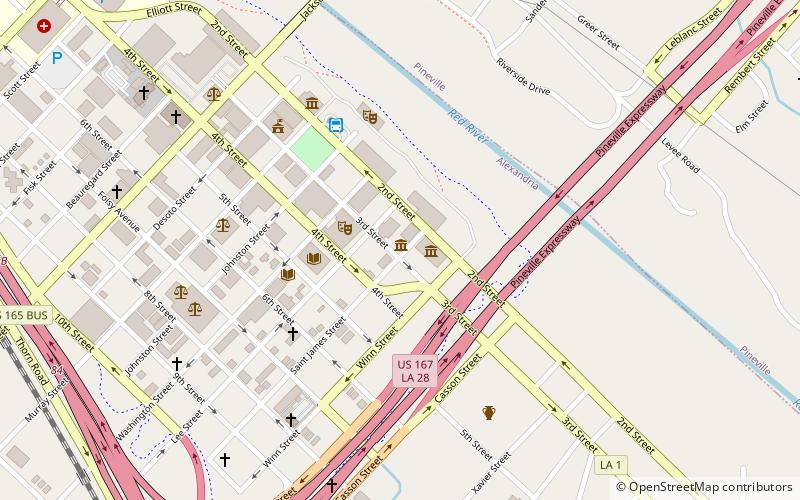
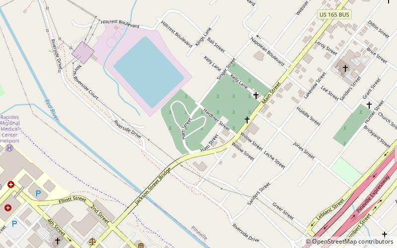
Rapides Cemetery is a historic burial ground located in Pineville, Louisiana at the site of the colonial era Post of Rapides. ()
Coordinates: 31°19'0"N, 92°26'30"W
Address
Alexandria
ContactAdd
Social media
Add
Day trips
Rapides Cemetery – popular in the area (distance from the attraction)
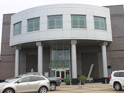
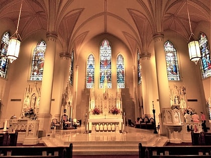
Nearby attractions include: Alexandria Museum of Art, St. Francis Xavier Cathedral, Alexandria National Cemetery, Louisiana History Museum.
Frequently Asked Questions (FAQ)
Which popular attractions are close to Rapides Cemetery?
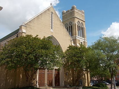
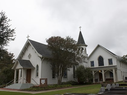
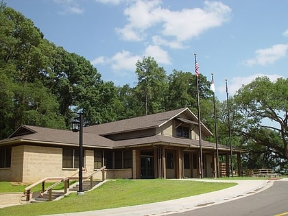
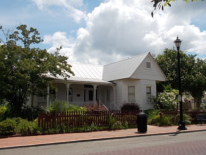
Nearby attractions include Mt. Olivet Episcopal Church and Cemetery, Alexandria (4 min walk), Alexandria Museum of Art, Alexandria (9 min walk), Fort Randolph, Alexandria (11 min walk), Commercial Building, Alexandria (11 min walk).
How to get to Rapides Cemetery by public transport?
The nearest stations to Rapides Cemetery:
Bus
Bus
- ATRANS Transit Station (10 min walk)

