Raleigh National Cemetery, Raleigh
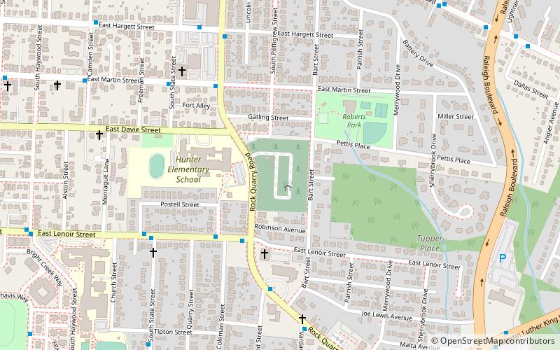
Map

Map

Facts and practical information
Raleigh National Cemetery is a United States National Cemetery located in the city of Raleigh in Wake County, North Carolina. Administered by the United States Department of Veterans Affairs, it encompasses 7 acres, and as of the end of 2005, had 6,000 interments. It is currently closed to new interments and is maintained by New Bern National Cemetery. ()
Built: 1865 (161 years ago)Coordinates: 35°46'27"N, 78°37'14"W
Address
501 Rock Quarry RdSouth Central Raleigh (Battery Heights)Raleigh 27610-3353
Contact
+1 252-637-2912
Social media
Add
Day trips
Raleigh National Cemetery – popular in the area (distance from the attraction)
Nearby attractions include: City Market, Marbles Kids Museum, Duke Energy Center for the Performing Arts, The Pour House Music Hall.
Frequently Asked Questions (FAQ)
Which popular attractions are close to Raleigh National Cemetery?
Nearby attractions include Battery Heights Historic District, Raleigh (7 min walk), William A. Curtis House, Raleigh (16 min walk), City Cemetery, Raleigh (18 min walk), East Raleigh–South Park Historic District, Raleigh (19 min walk).
How to get to Raleigh National Cemetery by public transport?
The nearest stations to Raleigh National Cemetery:
Bus
Bus
- E Lenoir St at Rock Quarry Rd • Lines: 5 (4 min walk)
- Lenoir St at Coleman St • Lines: 5 (4 min walk)


