Fort Sumner, Bethesda
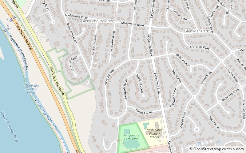
Map
Facts and practical information
Fort Sumner was built during the American Civil War by the Union Army in the Brookmont section of Bethesda, Maryland, just northwest of Washington, D.C. ()
Built: 1861 (165 years ago)Demolished: 1953Coordinates: 38°57'19"N, 77°7'26"W
Address
BethesdaBethesda
ContactAdd
Social media
Add
Getting there by public transportation
Public transportation stops near this location
- Bus
 Bus
Bus
- Calculate routeSpringfield Drive 31 min walk
- Calculate routeDorset Avenue 31 min walk
- Calculate routeBrookside Drive 32 min walk
Day trips


Frequently Asked Questions (FAQ)
How to get to Fort Sumner by public transport?
The nearest stations to Fort Sumner:
Bus
Bus
- Springfield Drive • Lines: T2 (31 min walk)
- Dorset Avenue • Lines: T2 (31 min walk)