Trek Zone

Agricultural History Project, Watsonville

#4 among attractions in Watsonville

Specialty museum, Museum
Agricultural History Project

Facts and practical information

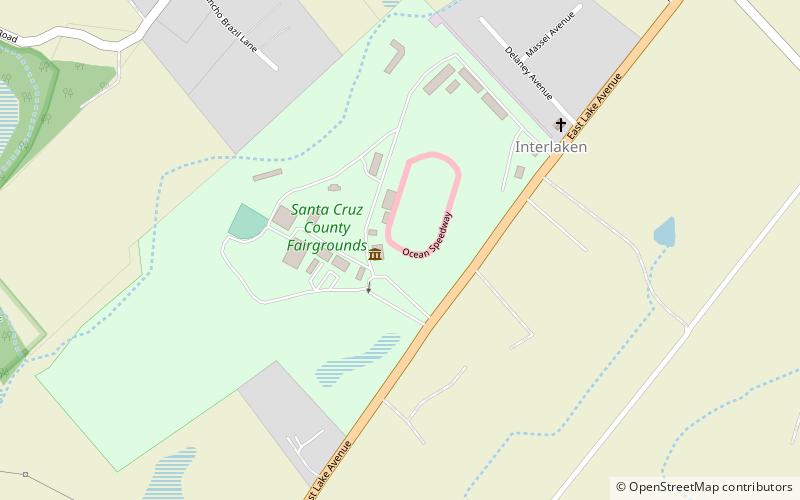
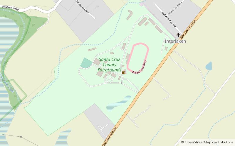
Agricultural History Project (address: 2601 E Lake Ave) is a place located in Watsonville (California state) and belongs to the category of specialty museum, museum.

It is situated at an altitude of 128 feet, and its geographical coordinates are 36°57'4"N latitude and 121°44'6"W longitude.

Among other places and attractions worth visiting in the area are: Santa Cruz County Fairgrounds (music and shows, 2 min walk), Godfrey M. Bockius House (museum, 68 min walk), Pajaro Valley Historical Association (museum, 69 min walk).

Coordinates: 36°57'4"N, 121°44'6"W
Address

2601 E Lake AveWatsonville 95076-1419 United States

Contact
+1 831-724-5898
Social media
Add

Watsonville plan & book

Unleash the traveler in you — discover the cheapest flight deals, find the perfect hotel or hostel nearby, and search for the best car rental prices. Travel at your own pace to discover new places and enjoy your journey.

Day trips

Agricultural History Project – popular in the area (distance from the attraction)

Nearby attractions include: Elkhorn Slough Brewing Co., Mount Madonna, Santa Cruz County Fairgrounds, Godfrey M. Bockius House.

  • elkhorn slough brewing co watsonville3.4 miSW
  • mount madonna watsonville4.4 miNE
  • santa cruz county fairgrounds watsonville location map
    ~290 ftE
  • godfrey m bockius house watsonville2.7 miS
  • pajaro valley historical association watsonville2.7 miS
  • sankat mochan hanuman temple watsonville5.2 miN
  • watsonville public library3.2 miS
  • porter vallejo mansion watsonville3.5 miS

Where to next? Visit california California region page or discover the top tourist attractions in United States.