Antora Peak, Rio Grande National Forest

Gallery (1)
Map
Map
Facts and practical information
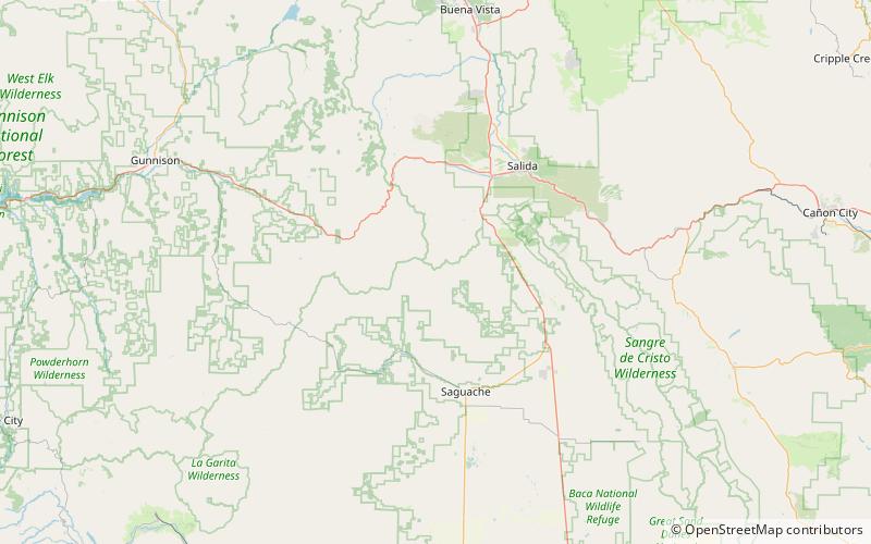
Antora Peak is a high and prominent mountain summit in the southern Sawatch Range of the Rocky Mountains of North America. The 13,275-foot thirteener is located in Rio Grande National Forest, 4.6 miles west-northwest of the Town of Bonanza in Saguache County, Colorado, United States. ()
Elevation: 13275 ftProminence: 2409 ftCoordinates: 38°19'30"N, 106°13'5"W
Address
Rio Grande National Forest
ContactAdd
Social media
Add