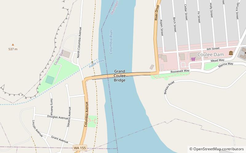
Grand Coulee Bridge, Coulee Dam
Map

Map

Facts and practical information
The Grand Coulee Bridge, or Columbia River Bridge at Grand Coulee Dam, is a steel thru cantilever truss bridge built in 1934–1935. It carries Washington State Route 155 across the Columbia River immediately below Grand Coulee Dam, near the city of Grand Coulee, Washington. It was added to the National Register of Historic Places in 1982. ()
Opened: 1935 (91 years ago)Length: 1089 ftCoordinates: 47°57'55"N, 118°58'55"W
Address
Coulee Dam
ContactAdd
Social media
Add
Day trips
Grand Coulee Bridge – popular in the area (distance from the attraction)
Nearby attractions include: Franklin D. Roosevelt Lake, Grand Coulee Dam, North Dam, Riverview Lanes Bowling Center.
Frequently Asked Questions (FAQ)
Which popular attractions are close to Grand Coulee Bridge?
Nearby attractions include Riverview Lanes Bowling Center, Coulee Dam (4 min walk), Grand Coulee Dam, Grand Coulee (15 min walk), Franklin D. Roosevelt Lake, Coulee Dam (17 min walk).


