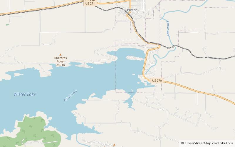
Lake Wister, Wister
Map

Map

Facts and practical information
Lake Wister is a reservoir in Le Flore County, in southeast Oklahoma. The lake is created by the Poteau River and the Fourche Maline creek. Wister Lake was authorized for flood control and conservation by the Flood Control Act of 1938. The project was designed and built by the Tulsa District Corps of Engineers. Construction began in April 1946, and the project was placed in full flood control operation in December 1949. ()
Area: 11.58 mi²Coordinates: 34°56'13"N, 94°43'59"W
Address
Wister
ContactAdd
Social media
Add
Day trips
Lake Wister – popular in the area (distance from the attraction)
Nearby attractions include: Lake Wister State Park.

