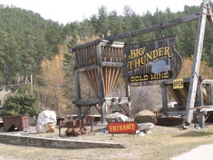
Keystone Wye, Black Hills National Forest
Map
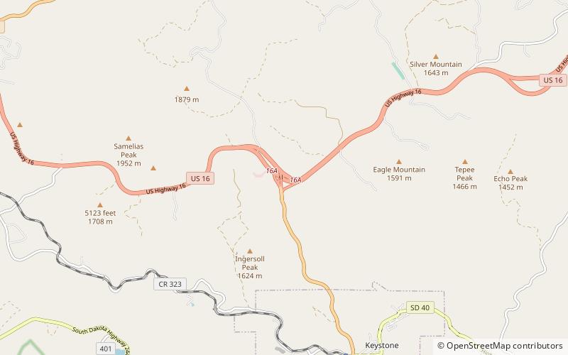
Map

Facts and practical information
Keystone Wye is an interchange of U.S. Route 16 and US 16A located in the Black Hills of South Dakota, featuring two unique structural glued laminated timber bridges. The Keystone Wye is a three-level Directional T interchange for the two divided highways, constructed in 1967-1968 as part of a project by the South Dakota Department of Transportation to convert US 16 to a four-lane highway between Rapid City and Keystone. It was designed by Clyde Jundt and Kenneth C. Wilson. ()
Opened: 1966 (60 years ago)Coordinates: 43°55'29"N, 103°26'31"W
Address
Black Hills National Forest
ContactAdd
Social media
Add
Day trips
Keystone Wye – popular in the area (distance from the attraction)
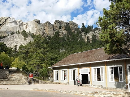
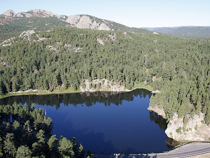
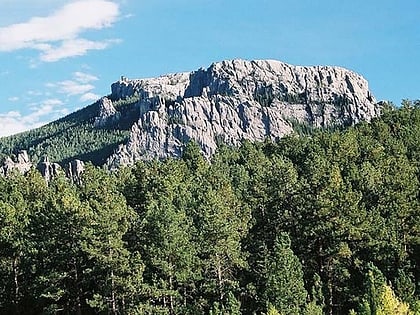
Nearby attractions include: Lincoln Borglum Museum, Horse Thief Lake, Iron Mountain, Black Elk Peak.

