Sentinel Peak, Tucson

Facts and practical information
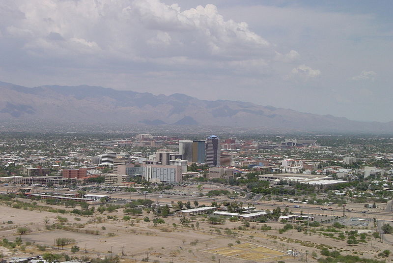
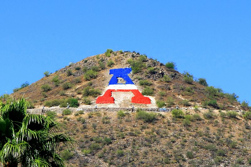
Sentinel Peak is a 2,897 ft peak in the Tucson Mountains southwest of downtown Tucson, Arizona. The valley's first inhabitants grew crops at the mountain's base, along the Santa Cruz River. The name "Tucson" is derived from the O'odham Cuk Ṣon, meaning " base of the black ". In the 1910s, University of Arizona students used local basalt rock to construct a 160-ft-tall block "A" on the mountain's east face, near its summit, giving the peak its other name, "A" Mountain. The peak is part of a 272-acre park, the largest natural resource park in the City of Tucson. ()
Sentinel Peak – popular in the area (distance from the attraction)
Nearby attractions include: Tucson Convention Center, Cathedral of Saint Augustine, Fox Tucson Theatre, Santa Cruz Catholic Church.
Frequently Asked Questions (FAQ)
How to get to Sentinel Peak by public transport?
Tram
- Cushing Street & Avenida del Convento • Lines: Sun Link (22 min walk)
- Avenida del Convento & Congress Street • Lines: Sun Link (23 min walk)


