Fort Myer, Arlington
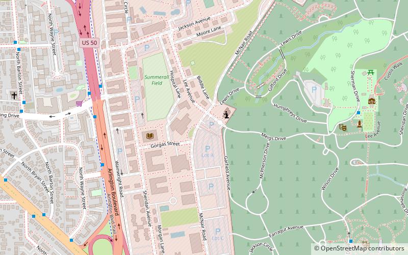
Map
Map

Facts and practical information
Fort Myer is the previous name used for a U.S. Army post next to Arlington National Cemetery in Arlington County, Virginia, and across the Potomac River from Washington, D.C. Founded during the American Civil War as Fort Cass and Fort Whipple, the post merged in 2005 with the neighboring Marine Corps installation, Henderson Hall, and is today named Joint Base Myer–Henderson Hall. ()
Day trips
Fort Myer – popular in the area (distance from the attraction)
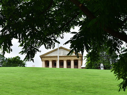
Nearby attractions include: Marine Corps War Memorial, John F. Kennedy Eternal Flame, Tomb of the Unknown Soldier, Arlington House.
Frequently Asked Questions (FAQ)
Which popular attractions are close to Fort Myer?
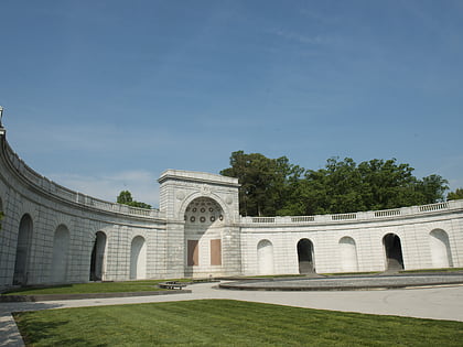
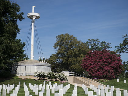
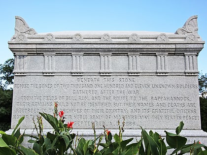
Nearby attractions include Tanner Amphitheater, Arlington (8 min walk), Confederate Memorial, Arlington (9 min walk), Civil War Unknowns Monument, Arlington (9 min walk), USS Maine Mast Memorial, Arlington (10 min walk).
How to get to Fort Myer by public transport?
The nearest stations to Fort Myer:
Bus
Metro
Bus
- Arlington Blvd & 2nd St N • Lines: 4A (7 min walk)
- Washington Blvd at N Wayne St • Lines: 42, 77 (11 min walk)
Metro
- Court House • Lines: Or, Sv (21 min walk)
- Arlington Cemetery • Lines: Bl (24 min walk)


