Los Alamos Canyon Creek, Cleveland National Forest

Map
Facts and practical information
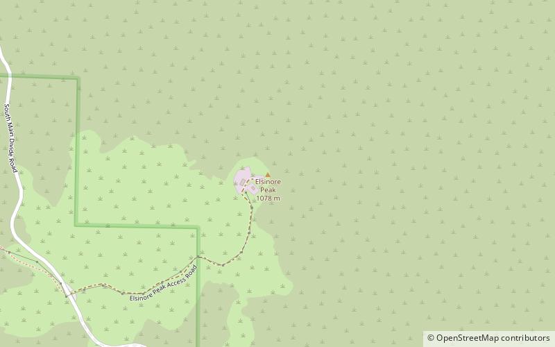
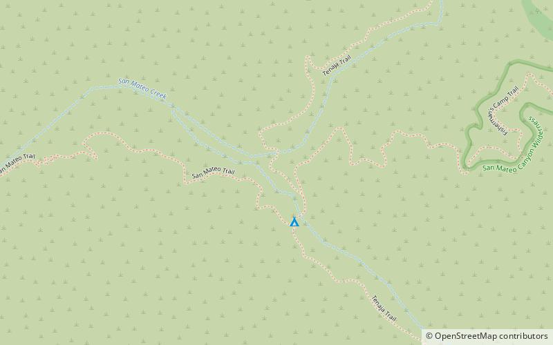
Los Alamos Canyon Creek, a stream or arroyo, tributary to San Mateo Creek, in the Cleveland National Forest in Riverside County, California. Its source is at an altitude of 2300 feet, in a canyon on the south face of the ridge of Elsinore Mountains that descends to the southeast from Elsinore Peak. The creek descends southward for a short distance then turns southwest for 4 miles where it turns west for 3 miles down Los Alamos Canyon to its confluence with San Mateo Creek at an elevation of 1312 feet. ()
Length: 7 miCoordinates: 33°33'4"N, 117°23'38"W
Address
Cleveland National Forest
ContactAdd
Social media
Add
Day trips
Los Alamos Canyon Creek – popular in the area (distance from the attraction)
Nearby attractions include: Elsinore Peak, San Mateo Peak, Elsinore Mountains, Morrell Canyon Creek.


