Sandy Point State Park, Annapolis
Map
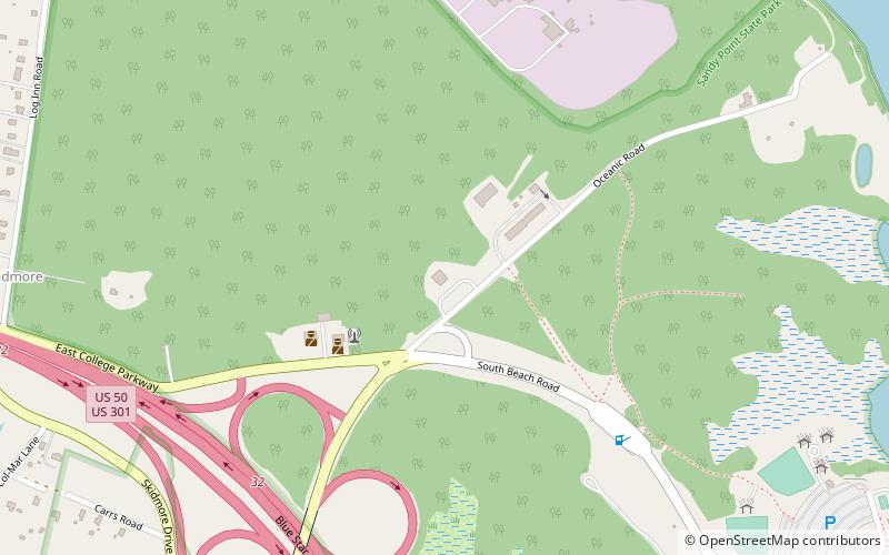
Map

Facts and practical information
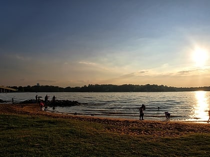
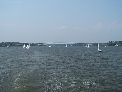
Sandy Point State Park is a public recreation area on Chesapeake Bay, located at the western end of the Chesapeake Bay Bridge in Anne Arundel County, Maryland. The state park is known for the popularity of its swimming beach, with annual attendance exceeding one million visitors. The park grounds include the Sandy Point Farmhouse, which is listed on the National Register of Historic Places. The historic Sandy Point Shoal Lighthouse stands in about five feet of water some 1,000 yards east of the park's beach. ()
Established: 1948 (78 years ago)Elevation: 16 ft a.s.l.Coordinates: 39°1'16"N, 76°24'25"W
Day trips
Sandy Point State Park – popular in the area (distance from the attraction)
Nearby attractions include: Naval Academy Chapel, Herndon Monument, Alumni Hall, United States Naval Academy Cemetery.


