Fort Sandoské, Marblehead

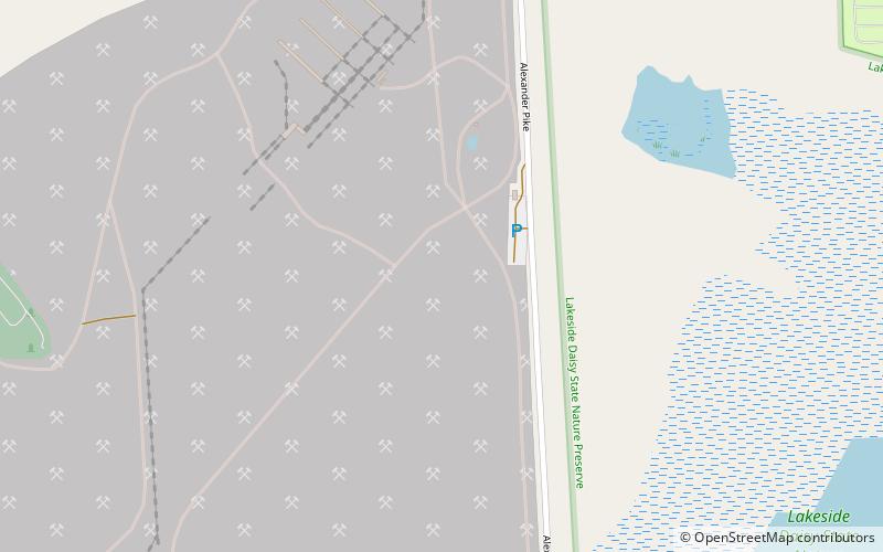
Map
Facts and practical information
Fort Sandoské was a French military fort, built about 1750 on what is now called the Marblehead Peninsula on the northern side of Sandusky Bay in Ohio, near the traditional portage place from the bay to Lake Erie. ()
Coordinates: 41°32'5"N, 82°43'45"W
Address
Marblehead
ContactAdd
Social media
Add
Day trips
Fort Sandoské – popular in the area (distance from the attraction)
Nearby attractions include: Cedar Point Shores, Maverick Roller Coaster, Magnum XL-200, Rougarou Roller Coaster.
Frequently Asked Questions (FAQ)
Which popular attractions are close to Fort Sandoské?
Nearby attractions include First Congregational Church, Marblehead (16 min walk), Marblehead Lighthouse, Marblehead (24 min walk).


