Lone Eagle Peak, Indian Peaks Wilderness

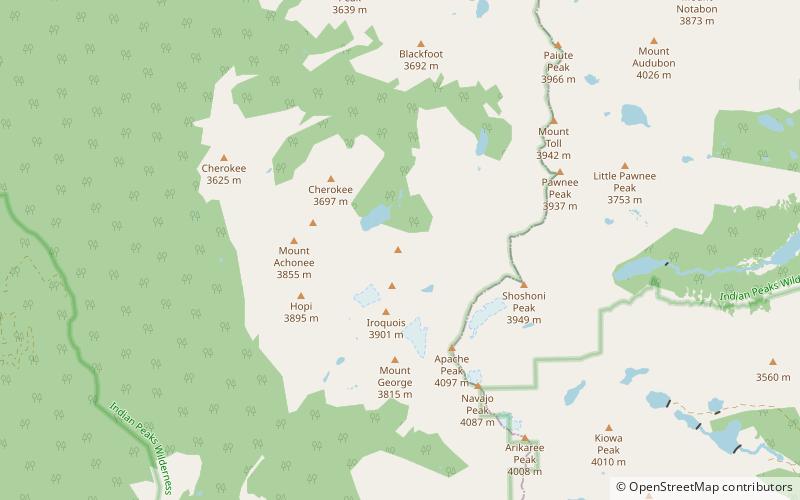
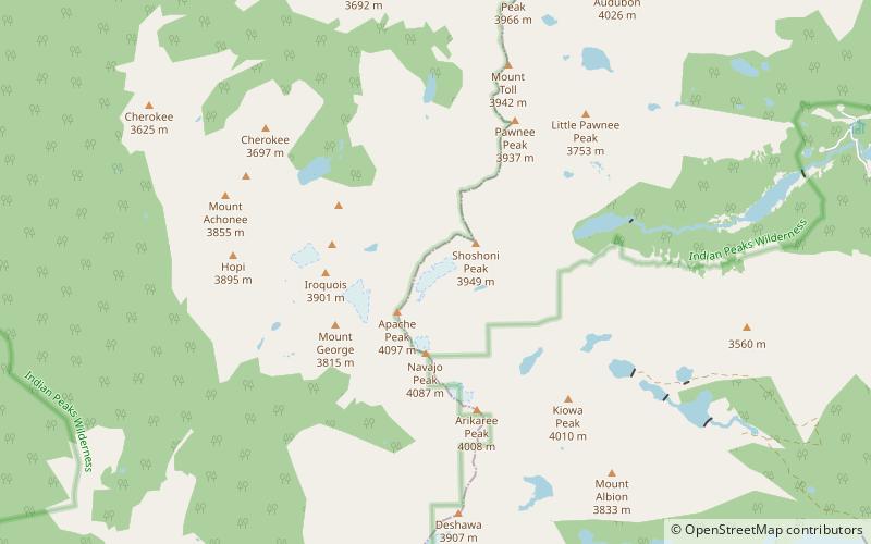
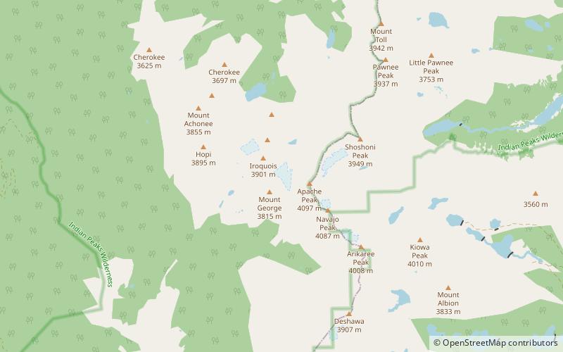
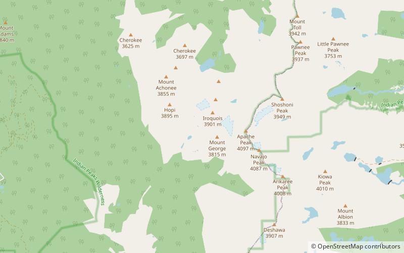
Map
Facts and practical information
Lone Eagle Peak is a mountain summit in the Indian Peaks of the Front Range of the Rocky Mountains of North America. The 11,946-foot peak is located in the Indian Peaks Wilderness of Arapaho National Forest, 12.4 miles northeast by north of the Town of Fraser in Grand County, Colorado, United States. Lone Eagle Peak was named in honor of Charles Lindbergh. ()
Elevation: 11946 ftCoordinates: 40°4'17"N, 105°39'36"W
Address
Indian Peaks Wilderness
ContactAdd
Social media
Add
Day trips
Lone Eagle Peak – popular in the area (distance from the attraction)
Nearby attractions include: Isabelle Glacier, Fair Glacier, Navajo Glacier, Peck Glacier.
Frequently Asked Questions (FAQ)
Which popular attractions are close to Lone Eagle Peak?
Nearby attractions include Fair Glacier, Indian Peaks Wilderness (21 min walk), Peck Glacier, Indian Peaks Wilderness (23 min walk).


