Mojave Forks Dam, San Gorgonio Wilderness
Map

Gallery

Facts and practical information
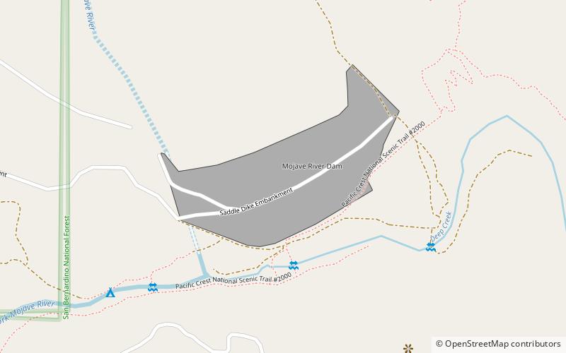
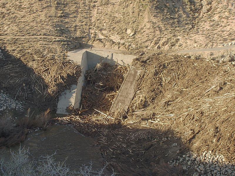
The Mojave Forks Dam, most often known as the Mojave River Dam, is an earth-fill dry dam across the Mojave River in San Bernardino County, California in the United States. Completed in 1974 by the U.S. Army Corps of Engineers, the dam is located at the confluence of the West Fork Mojave River and Deep Creek, and can store approximately 179,400 acre⋅ft of water. ()
Opened: 1974 (52 years ago)Length: 2223 ftHeight: 193 ftCoordinates: 34°20'38"N, 117°14'6"W
Address
San Gorgonio Wilderness
ContactAdd
Social media
Add
Day trips
Mojave Forks Dam – popular in the area (distance from the attraction)
Nearby attractions include: Silverwood Lake, Deep Creek Hot Springs.


