Lost Pines Forest, Bastrop
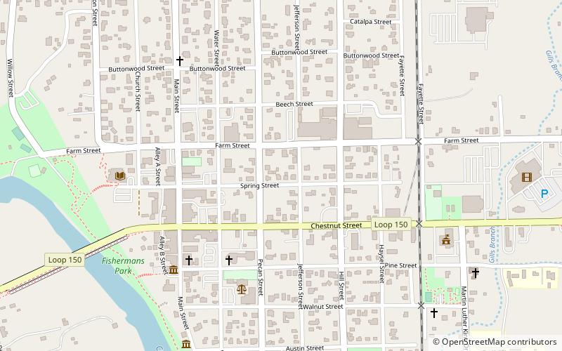
Map

Map

Facts and practical information
The Lost Pines Forest is a 13-mile belt of loblolly pines in the U.S. state of Texas, near the town of Bastrop. The stand of pines is unique in Texas because it is a disjunct population of trees that is more than 100 miles separated from, and yet closely genetically related to, the vast expanse of pine trees of the Piney Woods region that covers parts of Texas, Arkansas, Louisiana, and Oklahoma. ()
Coordinates: 30°6'43"N, 97°19'1"W
Address
Bastrop
ContactAdd
Social media
Add
Day trips
Lost Pines Forest – popular in the area (distance from the attraction)
Nearby attractions include: Colorado River Bridge at Bastrop, Bastrop County Courthouse and Jail Complex, Crocheron-McDowall House, Colorado River Winery.
Frequently Asked Questions (FAQ)
Which popular attractions are close to Lost Pines Forest?
Nearby attractions include Bastrop County Courthouse and Jail Complex, Bastrop (3 min walk), Colorado River Bridge at Bastrop, Bastrop (11 min walk), Crocheron-McDowall House, Bastrop (12 min walk).
How to get to Lost Pines Forest by public transport?
The nearest stations to Lost Pines Forest:
Bus
Bus
- Bastrop Station (22 min walk)


