Huntingtowne Farms Park, Charlotte
Map

Map

Facts and practical information
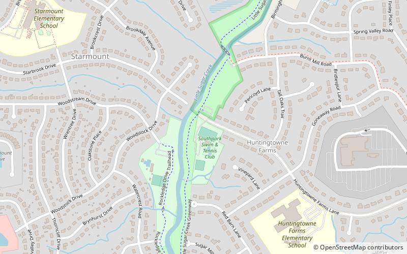
Huntingtowne Farms Park is a 23-acre urban park at 2200 Huntingtowne Farms Lane lying between the Huntingtowne Farms and Starmount Forest neighborhoods of Charlotte, North Carolina. A bridge across Sugar Creek connects the park to the Starmount Forest neighborhood. ()
Elevation: 564 ft a.s.l.Coordinates: 35°8'9"N, 80°51'49"W
Day trips
Huntingtowne Farms Park – popular in the area (distance from the attraction)
Nearby attractions include: Carolina Place Mall, Southpark Mall, Park Road Books, Quail Hollow Club.
Frequently Asked Questions (FAQ)
How to get to Huntingtowne Farms Park by public transport?
The nearest stations to Huntingtowne Farms Park:
Light rail
Light rail
- Arrowood • Lines: Blue (19 min walk)
- Sharon Road West • Lines: Blue (40 min walk)


