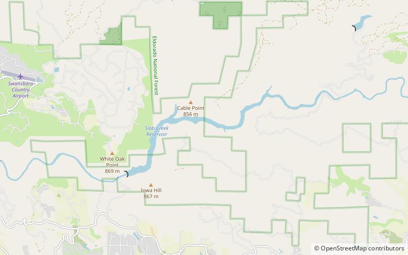
Slab Creek Dam, Eldorado National Forest
Map
Facts and practical information
Slab Creek Dam is a dam in the American River watershed of the central Sierra Nevada, within El Dorado County, California. ()
Coordinates: 38°47'8"N, 120°40'23"W
Address
Eldorado National Forest
ContactAdd
Social media
Add