Zoo Interchange, Milwaukee
Map

Gallery

Facts and practical information
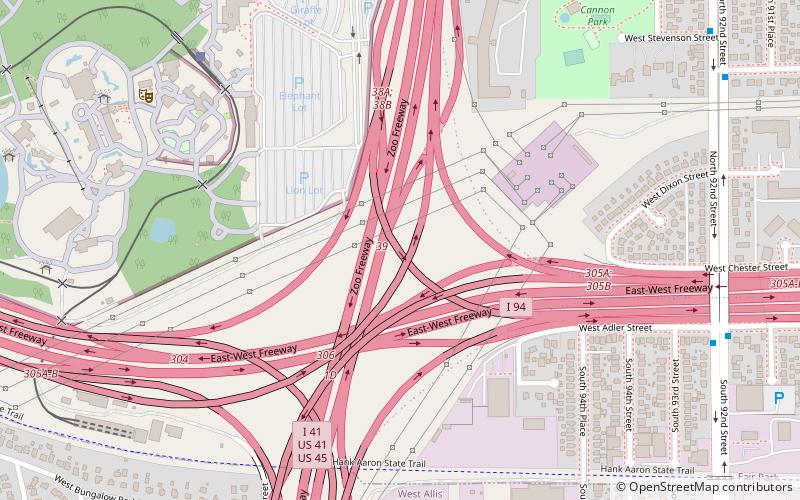
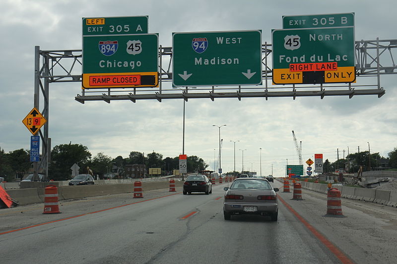
The Zoo Interchange is a freeway interchange on the west side of Milwaukee, Wisconsin. It forms the junction of Interstate 94, I-894, I-41, US Highway 41 and US 45. It is the busiest and one of the oldest interchanges in the state. It is nicknamed as such because of the Milwaukee County Zoo located on the northwest quadrant of the interchange. The control cities at the interchange are Downtown Milwaukee to the east, Chicago to the south, Madison to the west and Fond du Lac to the north. ()
Opened: 1963 (63 years ago)Coordinates: 43°1'43"N, 88°2'3"W
Address
Milwaukee
ContactAdd
Social media
Add
Day trips
Zoo Interchange – popular in the area (distance from the attraction)
Nearby attractions include: Milwaukee County Zoo, Pettit National Ice Center, Wisconsin State Fair Park, West Allis.
Frequently Asked Questions (FAQ)
Which popular attractions are close to Zoo Interchange?
Nearby attractions include Milwaukee County Zoo, Milwaukee (10 min walk), Friends of LaFollette Park, Milwaukee (16 min walk).


