Poudre Canyon, Roosevelt National Forest

Gallery (2)
Map
Map
Gallery
Facts and practical information
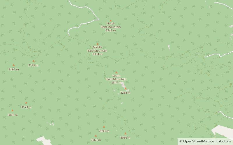
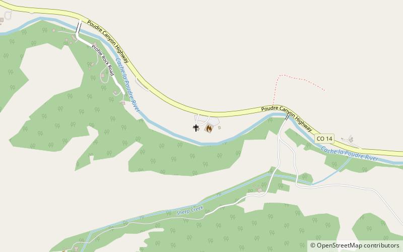
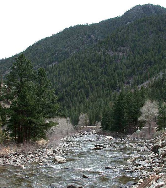
The Poudre Canyon is a narrow verdant canyon, approximately 40 mi long, on the upper Cache la Poudre River in Larimer County, Colorado in the United States. The canyon is a glacier-formed valley through the foothills of the Front Range of the Rocky Mountains northwest of Fort Collins. ()
Coordinates: 40°41'53"N, 105°37'23"W
Address
Roosevelt National Forest
ContactAdd
Social media
Add
Day trips