Billington Sea, Plymouth

Map
Facts and practical information
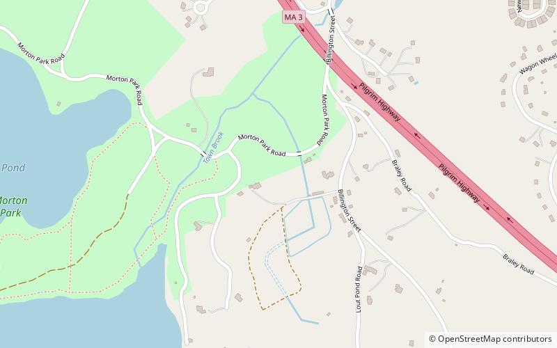
Billington Sea is a 269-acre warm water pond located in Plymouth, Massachusetts. Morton Park lies on the pond's northern shore. The pond is fed by groundwater and cranberry bog outlets. The average depth is seven feet and the maximum depth is 11 feet. The pond provides the headwaters to Town Brook. Seymour Island is located in the center of the pond. Billington Sea was named after its discoverer, Francis Billington, one of the passengers on the Mayflower. ()
Maximum depth: 11 ftElevation: 102 ft a.s.l.Coordinates: 41°56'30"N, 70°40'36"W
Address
Plymouth
ContactAdd
Social media
Add
Day trips
Billington Sea – popular in the area (distance from the attraction)
Nearby attractions include: Cole's Hill, Pilgrim Hall Museum, Massasoit Statue, Pilgrim Memorial State Park.
Frequently Asked Questions (FAQ)
Which popular attractions are close to Billington Sea?
Nearby attractions include Little Pond, Plymouth (12 min walk), Hillside, Plymouth (13 min walk), Morton Park, Plymouth (13 min walk), Lout Pond, Plymouth (14 min walk).


