Missouri Headwaters State Park, Three Forks
Map

Map

Facts and practical information
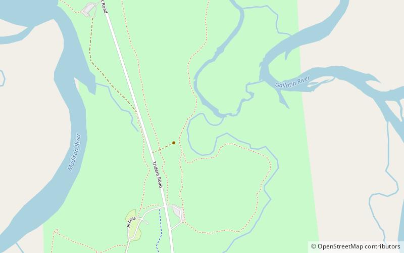
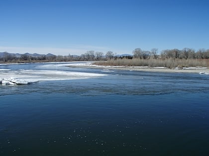
Missouri Headwaters State Park is a public recreation area occupying 535 acres at the site of the official start of the Missouri River. The park offers camping, hiking trails, hunting, and water-related activities. It is located on Trident Road northeast of Three Forks, Montana at an elevation of 4,045 feet. The park includes the Three Forks of the Missouri National Historic Landmark, designated in 1960 because the site is one where the Lewis and Clark Expedition camped in 1805. ()
Built: 1805 (221 years ago)Elevation: 4042 ft a.s.l.Coordinates: 45°55'22"N, 111°29'53"W
Day trips
Missouri Headwaters State Park – popular in the area (distance from the attraction)
Nearby attractions include: Skydive Three Forks.

