Sugarloaf Peak, Coconino National Forest

Map
Facts and practical information
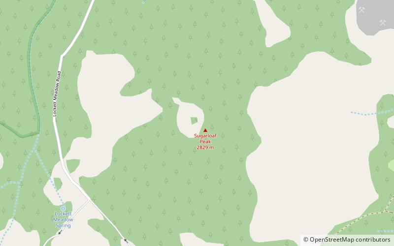
Sugarloaf is a rhyolite dome located just below the San Francisco Peaks in Flagstaff, Arizona. It formed after the sideways eruption of the mountain, which occurred in a similar fashion to the 1980 eruption of Mount St. Helens. ()
Elevation: 9287 ftProminence: 591 ftCoordinates: 35°21'48"N, 111°36'54"W
Day trips
Sugarloaf Peak – popular in the area (distance from the attraction)
Nearby attractions include: Arizona Snowbowl, San Francisco Peaks, Humphreys Peak, O'Leary Peak.


