Stroudwater River, Portland

Map
Facts and practical information
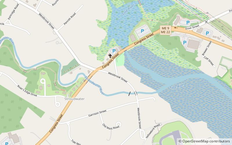
The Stroudwater River is a 15.2-mile-long river located mostly in Cumberland County, Maine. The river begins as a small stream at Duck Pond in Buxton and grows as it flows through Buxton, Gorham, Westbrook, and finally Portland before emptying into the Fore River at Stroudwater falls in Portland's Stroudwater neighborhood. Several smaller streams flow into the river in Buxton and Gorham, including Deering Brook, Gully Brook, Fogg Brook and Silver Brook. ()
Length: 15 miElevation: 16 ft a.s.l.Coordinates: 43°39'27"N, 70°18'42"W
Address
StroudwaterPortland
ContactAdd
Social media
Add
Day trips
Stroudwater River – popular in the area (distance from the attraction)
Nearby attractions include: Tate House, International Cryptozoology Museum, Fore River Sanctuary, Deering Center.
Frequently Asked Questions (FAQ)
Which popular attractions are close to Stroudwater River?
Nearby attractions include Tate House, Portland (1 min walk), Fore River Sanctuary, Portland (15 min walk).
How to get to Stroudwater River by public transport?
The nearest stations to Stroudwater River:
Bus
Train
Bus
- 54 • Lines: Hsk (27 min walk)
- Thompson's Point Rd + 100 Thompson's Point Rd • Lines: Brz (27 min walk)
Train
- Portland (27 min walk)


