Old Wethersfield, Wethersfield
Map

Map

Facts and practical information
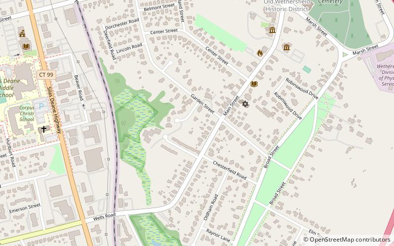
Old Wethersfield, also known as Old Wethersfield Historic District, and historically known as Watertown or Pyquag, is a section of the town of Wethersfield, Connecticut, roughly bounded by the borders of the adjacent city of Hartford and town of Rocky Hill, railroad tracks, and I-91. The site of the first permanent European-American settlement in the state of Connecticut, it was added to the National Register of Historic Places in 1970. ()
Coordinates: 41°42'32"N, 72°39'23"W
Address
Wethersfield
ContactAdd
Social media
Add
Day trips
Old Wethersfield – popular in the area (distance from the attraction)
Nearby attractions include: Webb-Deane-Stevens Museum, Joseph Webb House, First Church of Christ, Buttolph–Williams House.
Frequently Asked Questions (FAQ)
Which popular attractions are close to Old Wethersfield?
Nearby attractions include Joseph Webb House, Wethersfield (7 min walk), Webb-Deane-Stevens Museum, Wethersfield (7 min walk), Buttolph–Williams House, Wethersfield (8 min walk), First Church of Christ, Wethersfield (10 min walk).


