Central, Cleveland
Map
Map

Facts and practical information
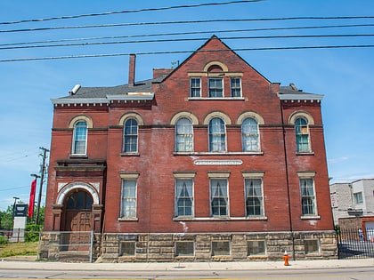
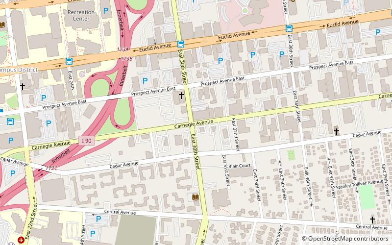
Central is a neighborhood on the East Side of Cleveland, Ohio. Situated on the outskirts of downtown, Central is bounded roughly by East 71st Street on its east and Interstate 90 on its west, with Euclid Avenue on its north and Interstate 77 and the Penn Central Railroad to the south. The neighborhood is eponymously named for its onetime main thoroughfare, Central Avenue. It is home to several schools, including East Technical High School. ()
Coordinates: 41°30'0"N, 81°40'0"W
Address
CentralCleveland
ContactAdd
Social media
Add
Day trips
Central – popular in the area (distance from the attraction)
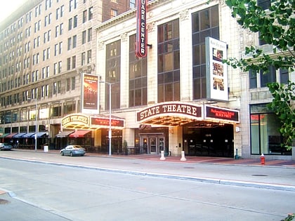
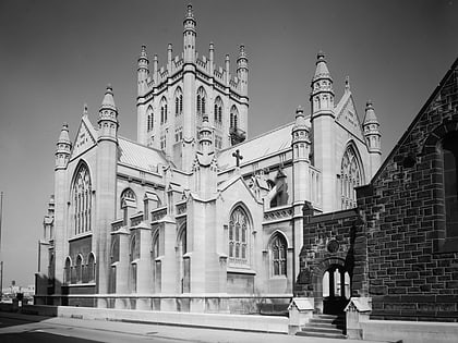
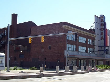
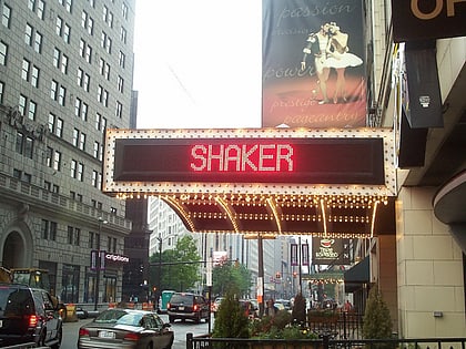
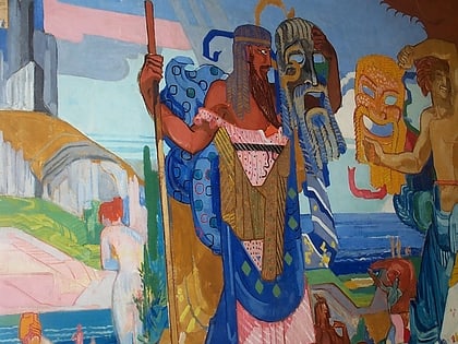
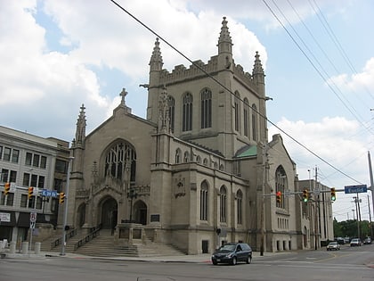
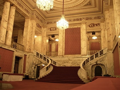
Nearby attractions include: Hanna Theatre, Playhouse Square, Trinity Cathedral, Cleveland Agora.
Frequently Asked Questions (FAQ)
Which popular attractions are close to Central?
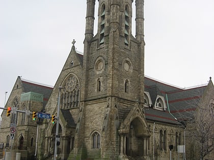
Nearby attractions include Phillip Gaensslen House, Cleveland (2 min walk), Zion Lutheran Church, Cleveland (2 min walk), Dr. William Gifford House, Cleveland (3 min walk), First Methodist Church, Cleveland (4 min walk).
How to get to Central by public transport?
The nearest stations to Central:
Bus
Metro
Light rail
Bus
- East 30th Street (5 min walk)
- East 36th Street (8 min walk)
Metro
- Tri-C–Campus District • Lines: Red (24 min walk)
Light rail
- Tri-C–Campus District • Lines: 67Ax, 67AX Blue, Blue, Green (25 min walk)
- South Harbor • Lines: 67Ax, 67AX Blue, Blue, Green (33 min walk)


