Fallen Hoosiers Memorial, Westfield
Map

Map

Facts and practical information
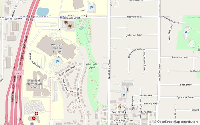
Fallen Hoosiers Memorial (address: 401 N. Union Street) is a place located in Westfield (Indiana state) and belongs to the category of museum.
It is situated at an altitude of 886 feet, and its geographical coordinates are 40°2'50"N latitude and 86°7'43"W longitude.
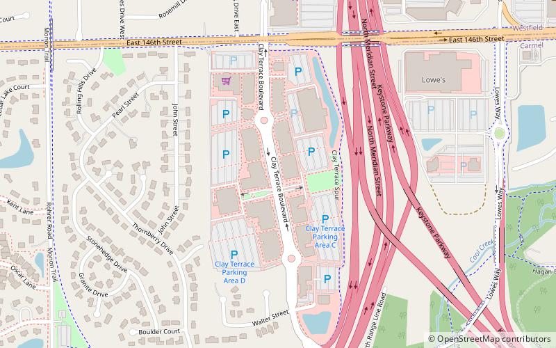
Among other places and attractions worth visiting in the area are: Westfield Washington Public Library (library, 7 min walk), Cool Creek Park & Nature Center, Carmel (park, 66 min walk), Clay Terrace, Carmel (shopping, 89 min walk).
Coordinates: 40°2'50"N, 86°7'43"W
Day trips
Fallen Hoosiers Memorial – popular in the area (distance from the attraction)
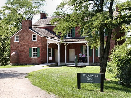
Nearby attractions include: Clay Terrace, Conner Prairie, The Palladium at the Center for the Performing Arts, Carmel Clay Public Library.


