St. Louis Gateway Mall, St. Louis
Map
Gallery
Facts and practical information
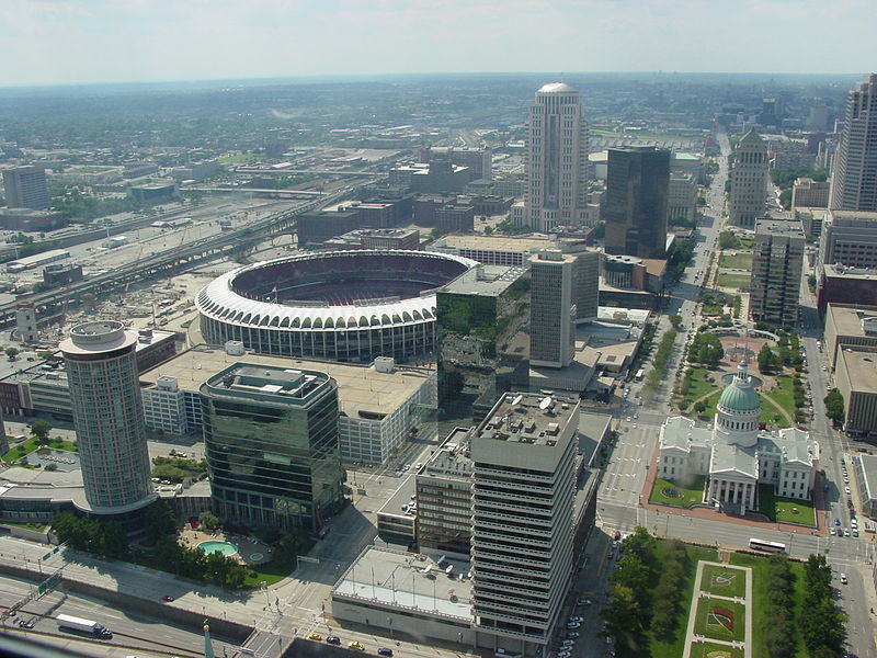
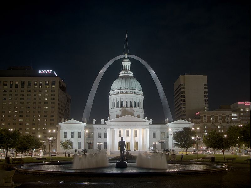
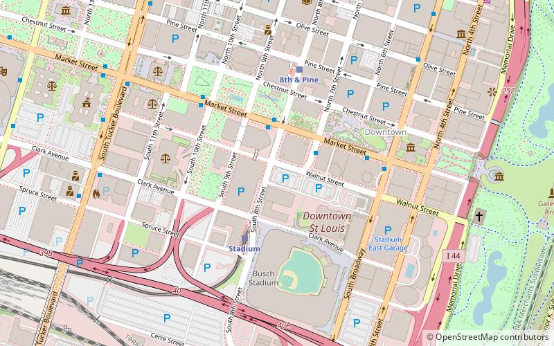
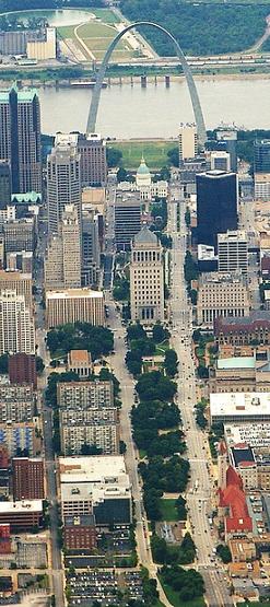
The Gateway Mall in St. Louis, Missouri is an open green space running linearly, one block wide, from the Gateway Arch at Memorial Drive to Union Station at 20th Street. Located in the city's downtown, it runs between Market Street and Chestnut Street. ()
Elevation: 456 ft a.s.l.Coordinates: 38°37'37"N, 90°11'40"W
Address
Downtown St. LouisSt. Louis
ContactAdd
Social media
Add
Day trips
St. Louis Gateway Mall – popular in the area (distance from the attraction)
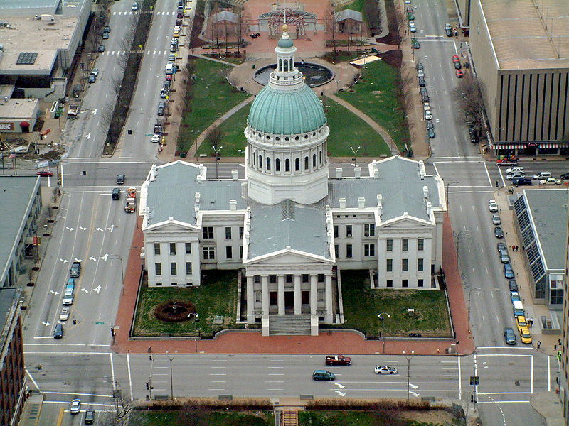
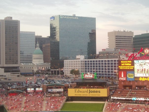
Nearby attractions include: Soulard Farmers Market, Old Courthouse, Busch Stadium, Scottrade Center.
Frequently Asked Questions (FAQ)
Which popular attractions are close to St. Louis Gateway Mall?
Nearby attractions include Citygarden, St. Louis (1 min walk), Bank of America Plaza, St. Louis (2 min walk), Southwestern Bell Building, St. Louis (3 min walk), Wainwright Building, St. Louis (4 min walk).
How to get to St. Louis Gateway Mall by public transport?
The nearest stations to St. Louis Gateway Mall:
Light rail
Bus
Train
Light rail
- 8th & Pine • Lines: Blue, Red (3 min walk)
- Stadium • Lines: Blue, Red (7 min walk)
Bus
- S • Lines: 4 (12 min walk)
- R • Lines: 41 (12 min walk)
Train
- Saint Louis (14 min walk)


