McGovern Centennial Gardens, Houston
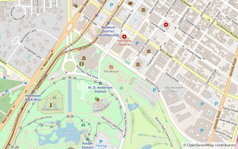
Map
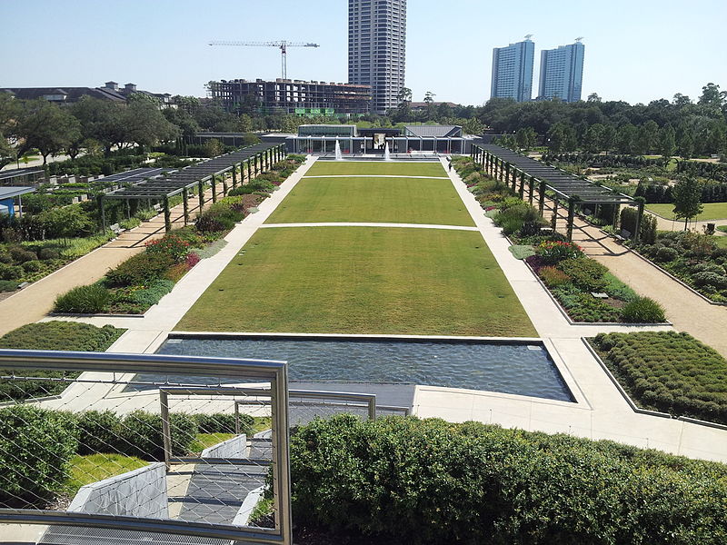
Gallery
Facts and practical information
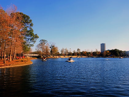
McGovern Centennial Gardens is a collection of gardens in Hermann Park, in Houston, Texas, United States. ()
Elevation: 46 ft a.s.l.Coordinates: 29°43'16"N, 95°23'15"W
Address
1500 Hermann DrInner Loop (Medical Center)Houston 77004-7127
Contact
+1 713-524-5876
Social media
Add
Day trips
McGovern Centennial Gardens – popular in the area (distance from the attraction)
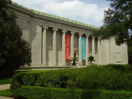
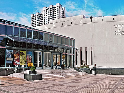
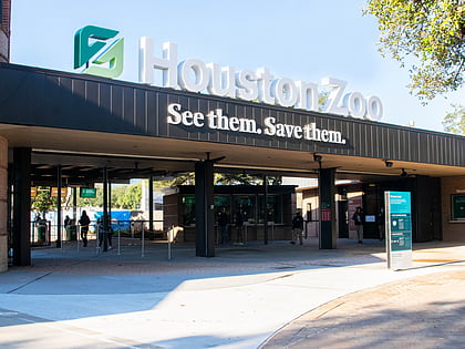
Nearby attractions include: Museum of Fine Arts, John C. Freeman Weather Museum, Houston Museum of Natural Science, Houston Zoo.
Frequently Asked Questions (FAQ)
Which popular attractions are close to McGovern Centennial Gardens?
Nearby attractions include The Health Museum, Houston (3 min walk), Atropos Key, Houston (4 min walk), Miller Outdoor Theatre, Houston (4 min walk), Children's Museum of Houston, Houston (5 min walk).
How to get to McGovern Centennial Gardens by public transport?
The nearest stations to McGovern Centennial Gardens:
Train
Light rail
Bus
Train
- M. D. Anderson Station (3 min walk)
- Kinder Station (8 min walk)
Light rail
- Museum District • Lines: Red (7 min walk)
- Hermann Park/Rice U • Lines: Red (10 min walk)
Bus
- Wheeler Station Transit Center (22 min walk)
- Shelter C • Lines: 2211 (31 min walk)

