Delaware Water Gap, Delaware Water Gap National Recreation Area
Map

Gallery

Facts and practical information
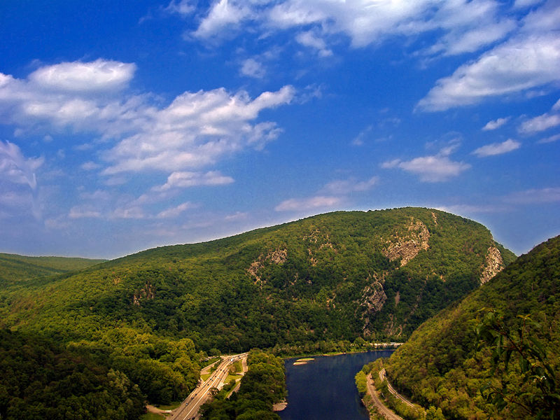
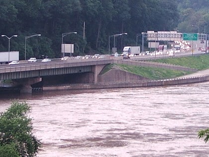
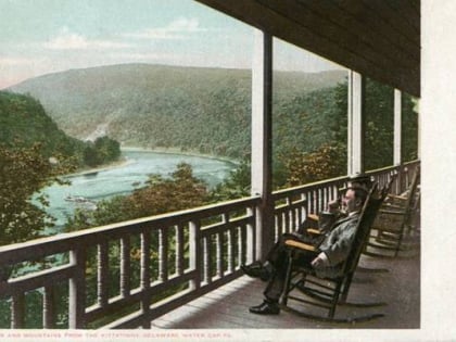
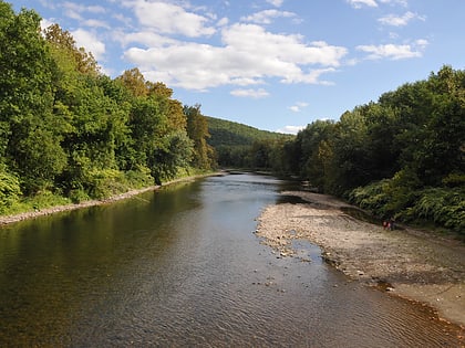
The Delaware Water Gap is a water gap on the border of the U.S. states of New Jersey and Pennsylvania where the Delaware River cuts through a large ridge of the Appalachian Mountains. The gap constitutes the southern portion of the Delaware Water Gap National Recreation Area, which is used primarily for recreational purposes, such as rafting, canoeing, swimming, fishing, hiking, and rock climbing. ()
Maximum elevation: 335 ftCoordinates: 40°58'24"N, 75°8'23"W
Address
Delaware Water Gap National Recreation Area
ContactAdd
Social media
Add
Day trips
Delaware Water Gap – popular in the area (distance from the attraction)
Nearby attractions include: Mount Minsi, Delaware Water Gap Toll Bridge, Antoine Dutot Museum and Gallery, Shawnee-Minisink Site.
Frequently Asked Questions (FAQ)
Which popular attractions are close to Delaware Water Gap?
Nearby attractions include Delaware Water Gap Toll Bridge, Delaware Water Gap National Recreation Area (12 min walk), Antoine Dutot Museum and Gallery, Delaware Water Gap (20 min walk).
How to get to Delaware Water Gap by public transport?
The nearest stations to Delaware Water Gap:
Bus
Bus
- Delaware Water Gap (30 min walk)


