Museum Covered Bridge, Shelburne
Map
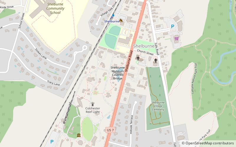
Map

Facts and practical information
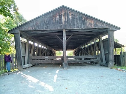
Built in 1845, the Museum Covered Bridge originally spanned the Lamoille River in Cambridge, Vermont. The trusses for the double bridge were assembled in a field next to the chosen site. Measuring 168 feet in length, with two vehicle lanes and a footpath, it is an impressive example of the engineering principles and bridge-builder's craft practiced during the 19th century. The bridge was lighted by kerosene lamps. ()
Completed: 1845 (181 years ago)Length: 168 ftCoordinates: 44°22'37"N, 73°13'46"W
Address
ShelburneShelburne
ContactAdd
Social media
Add
Day trips
Museum Covered Bridge – popular in the area (distance from the attraction)
Nearby attractions include: Shelburne Museum, Ticonderoga, Horseshoe Barn and Annex, Circus Building.
Frequently Asked Questions (FAQ)
Which popular attractions are close to Museum Covered Bridge?
Nearby attractions include The Dorset House, Shelburne (1 min walk), Stagecoach Inn, Shelburne (1 min walk), Vergennes Schoolhouse, Shelburne (1 min walk), Settlers House, Shelburne (2 min walk).
How to get to Museum Covered Bridge by public transport?
The nearest stations to Museum Covered Bridge:
Train
Train
- Shelburne (6 min walk)
