Red Lake Peak, Lake Tahoe Basin Management Unit

Map
Facts and practical information
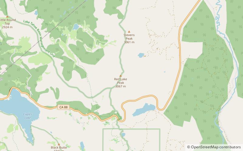
Red Lake Peak is believed to be the vantage point from which John C. Fremont and Charles Preuss made the first recorded sighting of Lake Tahoe by Europeans in February 1844 as Fremont's exploratory expedition made a desperate crossing of the Sierra Nevada through what is now Carson Pass on their way to obtain provisions at Sutter's Fort. The peak lies just north of the pass and generally northwest of the small lake east of the pass for which the peak is named. Lake Tahoe is visible to the north from the peak. ()
First ascent: 1844Elevation: 10068 ftProminence: 1463 ftCoordinates: 38°42'50"N, 119°59'13"W
Address
Lake Tahoe Basin Management Unit
ContactAdd
Social media
Add
Day trips
Red Lake Peak – popular in the area (distance from the attraction)
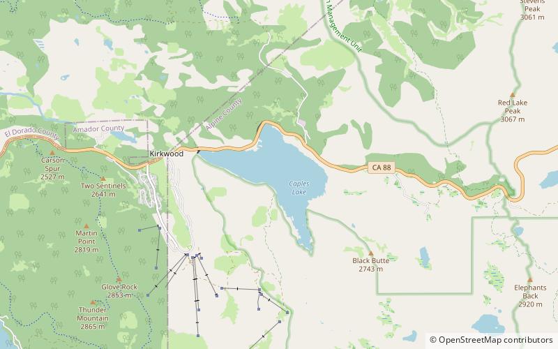
Nearby attractions include: Caples Lake.
