Wolfeboro Falls, Wolfeboro
Map

Map

Facts and practical information
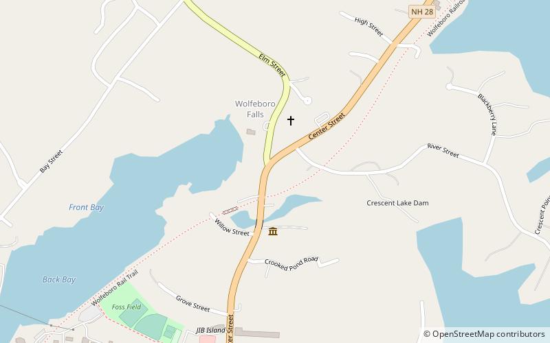
Wolfeboro Falls is an unincorporated community in the town of Wolfeboro in Carroll County, New Hampshire, United States. It is located 0.5 miles north of the center of Wolfeboro, on the strip of land separating Front Bay from Crescent Lake. The stream connecting the two lakes, known as the "Smith River", drops 28 feet over its 0.3-mile course. ()
Coordinates: 43°35'26"N, 71°12'18"W
Address
Wolfeboro
ContactAdd
Social media
Add
Day trips
Wolfeboro Falls – popular in the area (distance from the attraction)
Nearby attractions include: Libby Museum, Wright Museum of World War II, Brewster Memorial Hall, Rattlesnake Island.
Frequently Asked Questions (FAQ)
Which popular attractions are close to Wolfeboro Falls?
Nearby attractions include Wright Museum of World War II, Wolfeboro (3 min walk), Brewster Memorial Hall, Wolfeboro (13 min walk).


