East Temple Peak, Bridger Wilderness

Gallery (1)
Map
Map
Facts and practical information
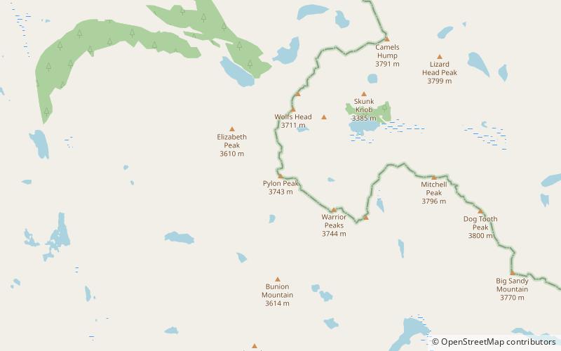
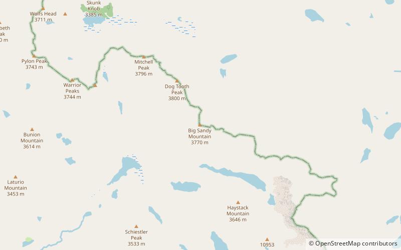
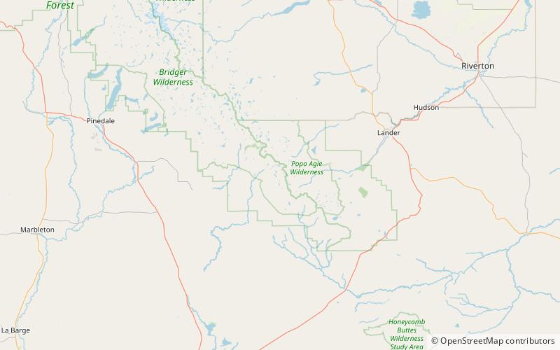
East Temple Peak is located in the southern Wind River Range in the U.S. state of Wyoming. East Temple Peak is a little over 1 mile northeast of Temple Peak and 1.5 mi west of Wind River Peak. A small glacier clings to the northeast slopes of East Temple Peak. East Temple Peak is in the Bridger Wilderness of Bridger-Teton National Forest. ()
Elevation: 12605 ftProminence: 920 ftCoordinates: 42°42'38"N, 109°9'25"W
Address
Bridger Wilderness
ContactAdd
Social media
Add
Day trips