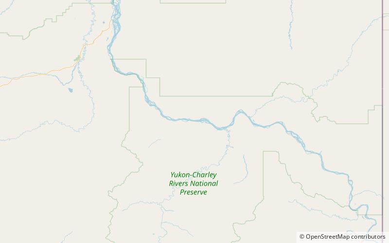
Slaven's Cabin, Yukon - Charley Rivers National Preserve
Map

Map

Facts and practical information
Slaven's Cabin, also called Slaven's Roadhouse and Frank Slaven Roadhouse, is a public-use facility in the Yukon-Charley Rivers National Preserve in Alaska. The cabin is located on the Yukon River, 42 miles southeast of Circle, Alaska, and 138 miles northeast of Fairbanks, Alaska. It is listed on the National Register of Historic Places. ()
Built: 1930 (96 years ago)Coordinates: 65°21'1"N, 143°7'23"W
Address
Yukon - Charley Rivers National Preserve
ContactAdd
Social media
Add
