Fort Lane, Lawrence
Map
Facts and practical information
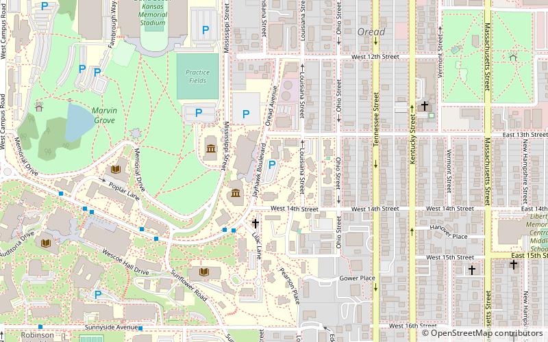
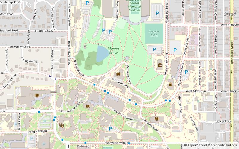
Fort Lane, on the crest of Mount Oread, then southwest of Lawrence, Kansas, was built by the residents of Lawrence in 1856 to serve as a lookout post to observe groups of men desiring to attack Lawrence. Lawrence was a free-state community built by northerners. From 1854 to 1861, when Kansas became a state, at times the area around Lawrence was a battleground for settlers who had come from both the northern and southern states. From this location, one could see for many miles in all directions. ()
Built: 1856 (170 years ago)Coordinates: 38°57'33"N, 95°14'33"W
Address
Lawrence
ContactAdd
Social media
Add
Getting there by public transportation
Public transportation stops near this location
- Bus
- Train
 Bus
Bus
- Calculate routeBailey Hall 7 min walk
- Calculate routeJayhawk @ Budig 9 min walk
- Calculate routePrice Computer Center 9 min walk
- Calculate routeSnow Hall WB 10 min walk
- Calculate routeLawrence 28 min walk
Day trips


Frequently Asked Questions (FAQ)
Which popular attractions are close to Fort Lane?
Nearby attractions include University of Kansas Natural History Museum, Lawrence (2 min walk), Spencer Museum of Art, Lawrence (3 min walk), United Presbyterian Center, Lawrence (5 min walk), Spooner Hall, Lawrence (6 min walk).
How to get to Fort Lane by public transport?
The nearest stations to Fort Lane:
Bus
Train
Bus
- Bailey Hall • Lines: 27 (7 min walk)
- Jayhawk @ Budig • Lines: 27 (9 min walk)
Train
- Lawrence (28 min walk)