Burntside State Forest, Boundary Waters Canoe Area Wilderness

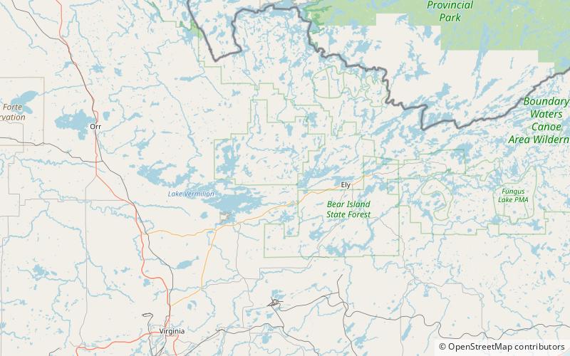
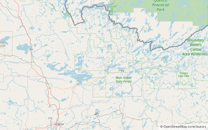
Map
Facts and practical information
The Burntside State Forest is a state forest located near the town of Ely in Lake and Saint Louis counties, Minnesota. 82% of the forest land falls within the limits of the Boundary Waters Canoe Area Wilderness to the north which belongs to the Superior National Forest, and thus falls under the federal jurisdiction of the United States Forest Service. ()
Coordinates: 47°55'11"N, 92°6'5"W
Day trips
Burntside State Forest – popular in the area (distance from the attraction)
Nearby attractions include: Crab Lake.
