Clay Center, Charleston
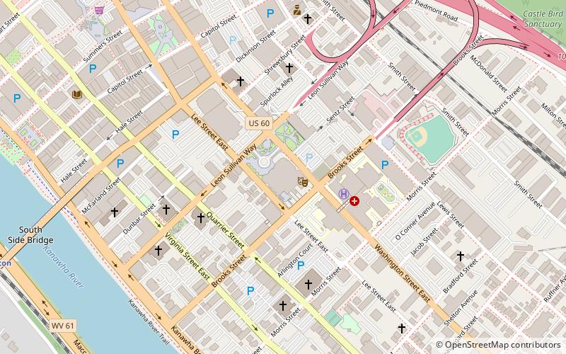
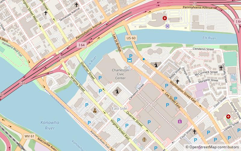
Map

Map

Facts and practical information
The Clay Center for the Arts and Sciences of West Virginia in Charleston, West Virginia, US is a 240,000-square-foot facility dedicated to promoting performing arts, visual arts, and the sciences. All three being housed under one roof makes the Clay Center one of the few of its kind in the United States. ()
Elevation: 591 ft a.s.l.Coordinates: 38°20'53"N, 81°37'46"W
Address
300 Leon Sullivan WayDowntown CharlestonCharleston 25301-2426
Contact
+1 304-561-3575
Social media
Add
Day trips
Clay Center – popular in the area (distance from the attraction)
Nearby attractions include: Charleston Town Center, Appalachian Power Park, Charleston Coliseum & Convention Center, Charleston Municipal Auditorium.
Frequently Asked Questions (FAQ)
When is Clay Center open?
Clay Center is open:
- Monday closed
- Tuesday closed
- Wednesday 10 am - 5 pm
- Thursday 10 am - 5 pm
- Friday 10 am - 5 pm
- Saturday 10 am - 5 pm
- Sunday 12 pm - 5 pm
Which popular attractions are close to Clay Center?
Nearby attractions include St. John's Episcopal Church, Charleston (4 min walk), Charleston Baptist Temple, Charleston (5 min walk), Basilica of the Co-Cathedral of the Sacred Heart, Charleston (6 min walk), Elizabeth Harden Gilmore House, Charleston (6 min walk).
How to get to Clay Center by public transport?
The nearest stations to Clay Center:
Train
Bus
Train
- Charleston (13 min walk)
Bus
- Greyhound Bus Station (22 min walk)


