Cheyenne Mountain State Park, Colorado Springs
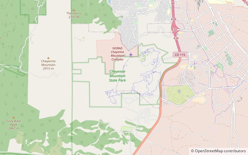
Map

Map

Facts and practical information
Cheyenne Mountain State Park is a Colorado state park that was acquired in June 2000 through a partnership between the City of Colorado Springs, Colorado State Parks, Great Outdoors Colorado, Colorado Lottery, El Paso County, and other local private organizations. ()
Established: 2006 (20 years ago)Elevation: 6572 ft a.s.l.Coordinates: 38°43'43"N, 104°50'20"W
Address
Rock CreekColorado Springs
ContactAdd
Social media
Add
Day trips
Cheyenne Mountain State Park – popular in the area (distance from the attraction)
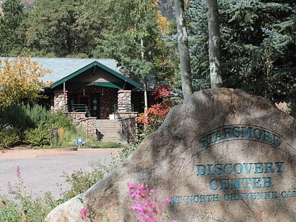
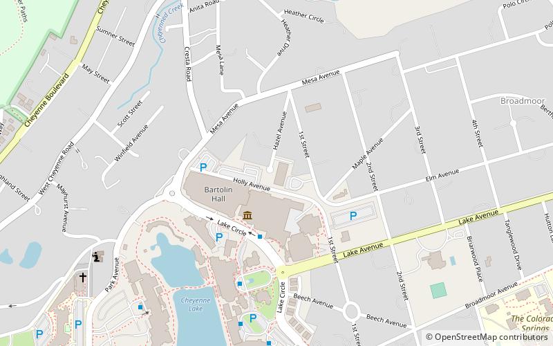
Nearby attractions include: South Cheyenne Cañon, Seven Falls, Helen Hunt Falls, Cheyenne Mountain Zoo.


