Maxwell-Sweet House, Siloam Springs

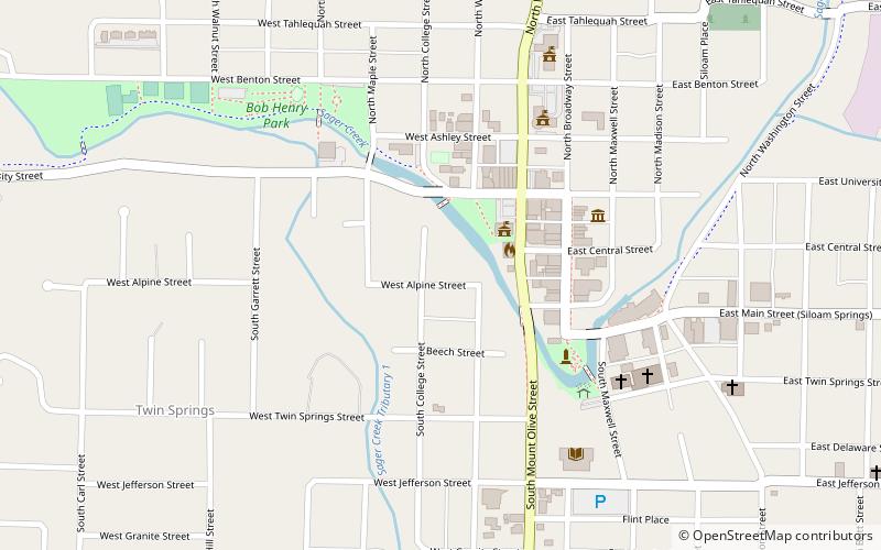
Map
Facts and practical information
The Maxwell-Sweet House is a historic house at 114 South College in Siloam Springs, Arkansas. It is a two-story brick structure, roughly square in shape with a projecting front section. It has a tile hip roof with extended eaves, and a porch that wraps around the front project, supported by brick piers with concrete capitals. The house was built in 1921 by a prominent local banker, who lost both his business and house in 1928. The property includes a period garage and carriage barn. ()
Built: 1921 (105 years ago)Coordinates: 36°11'5"N, 94°32'35"W
Address
Siloam Springs
ContactAdd
Social media
Add
Day trips
Maxwell-Sweet House – popular in the area (distance from the attraction)
Nearby attractions include: Grand Army of the Republic Memorial, First National Bank, Oak Hill Cemetery, Duckworth-Williams House.
Frequently Asked Questions (FAQ)
Which popular attractions are close to Maxwell-Sweet House?
Nearby attractions include Duckworth-Williams House, Siloam Springs (1 min walk), First National Bank, Siloam Springs (3 min walk), Grand Army of the Republic Memorial, Siloam Springs (6 min walk), Pyeatte House, Siloam Springs (7 min walk).


